Park Forest night lights from space
Night Light of Park Forest (Illinois) from space (United States) Src. Average luminocity for 10x10km area is 84.2806% and for 50x50km: 54.6988%.
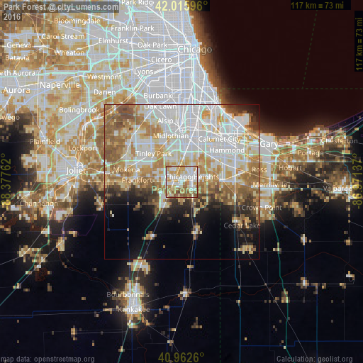
Analysis of Park Forest night lights 2016
Square area 10x10 km:
 22.11%
90-99
26.02%80-89
11.56%70-79
19.05%60-69
10.88%50-59
9.52%40-49
0.85%30-39
0%20-29
0%10-19
0%0-9
0%Square area 50x50 km:
16.36%90-99
12.51%80-89
7.4%70-79
7.7%60-69
8.35%50-59
6.66%40-49
3.27%30-39
3.26%20-29
4.05%10-19
6.89%0-9
23.54%Clear (daylight) street map image can be seen on geolist.org.
Map coordinates:
42° 0' 57.5" North, 88° 22' 39.4" West
41° 29' 29.1" North, 87° 40' 28.2" West
40° 57' 45.4" North, 86° 58' 16.9" West
Some cities around Park Forest sort by population:
• Chicago Heights
3.6 km =2.2 mi,  63°
63°
• Homewood
7.4 km =4.6 mi,  5°
5°
• Matteson
3.5 km =2.2 mi,  293°
293°
• Richton Park
2.5 km =1.6 mi,  252°
252°
• Steger
4 km =2.5 mi,  126°
126°
• Flossmoor
5.8 km =3.6 mi,  351°
351°
• Crete
6.3 km =3.9 mi,  145°
145°
• University Park
5.4 km =3.4 mi,  188°
188°
4905337 (p: 21,954)
Sources (retrieved 2019-11-25):
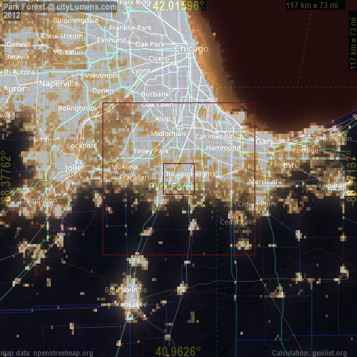
» Earth at Night: Flat Maps 2012, 2016