Richmond night lights from space
Night Light of Richmond (Indiana) from space (United States) Src. Average luminocity for 10x10km area is 63.9558% and for 50x50km: 7.5913%.
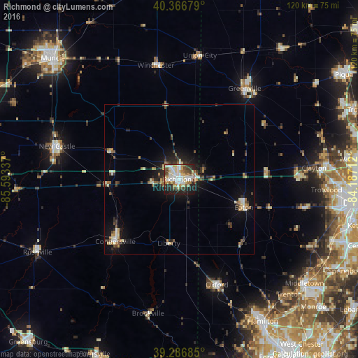
Analysis of Richmond night lights 2016
Square area 10x10 km:
 17.01%
90-99
16.33%80-89
10.88%70-79
6.46%60-69
4.42%50-59
5.61%40-49
7.31%30-39
7.48%20-29
15.99%10-19
8.5%0-9
0%Square area 50x50 km:
0.93%90-99
1.37%80-89
0.93%70-79
0.73%60-69
0.86%50-59
1.06%40-49
0.96%30-39
1.25%20-29
1.98%10-19
4.99%0-9
84.94%Clear (daylight) street map image can be seen on geolist.org.
Map coordinates:
40° 22' 0.4" North, 85° 35' 36.1" West
39° 49' 44.2" North, 84° 53' 24.9" West
39° 17' 12.7" North, 84° 11' 13.6" West
Some cities around Richmond sort by population:
• Trotwood
49.6 km =30.8 mi,  94°
94°
• Oxford
37.9 km =23.5 mi,  160°
160°
• New Castle
42.4 km =26.3 mi,  285°
285°
• Clayton
45.4 km =28.2 mi, 85°
• Connersville
29.9 km =18.6 mi,  225°
225°
• Greenville
37.5 km =23.3 mi,  35°
35°
• Eaton
23.6 km =14.7 mi,  113°
113°
• Brookville
40.9 km =25.4 mi, 88°
4263681 (p: 35,854)
Sources (retrieved 2019-11-25):
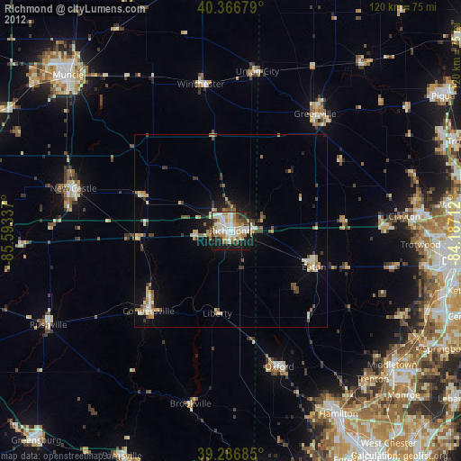
» Earth at Night: Flat Maps 2012, 2016