Oxford night lights from space
Night Light of Oxford (Ohio) from space (United States) Src. Average luminocity for 10x10km area is 20.1266% and for 50x50km: 12.2003%.
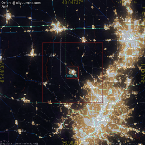
Analysis of Oxford night lights 2016
Square area 10x10 km:
 2.44%
2.44%90-99
4.06%80-89
0.97%70-79
1.62%60-69
1.3%50-59
2.92%40-49
4.71%30-39
3.9%20-29
4.06%10-19
12.99%0-9
61.04%Square area 50x50 km:
1.79%90-99
2.3%80-89
1.44%70-79
2.06%60-69
1.88%50-59
1.75%40-49
1.54%30-39
2.14%20-29
2.22%10-19
4.25%0-9
78.63%Clear (daylight) street map image can be seen on geolist.org.
Map coordinates:
40° 2' 50.5" North, 85° 26' 54.1" West
39° 30' 25.2" North, 84° 44' 42.8" West
38° 57' 44.6" North, 84° 2' 31.6" West
Some cities around Oxford sort by population:
• Hamilton
19.8 km =12.3 mi,  127°
127°
• Middletown
29.8 km =18.5 mi,  88°
88°
• Fairfield
23.9 km =14.9 mi,  138°
138°
• Forest Park
31.8 km =19.8 mi, 139°
• Trenton
24.8 km =15.4 mi,  96°
96°
• Harrison
28 km =17.4 mi,  193°
193°
• Eaton
27.9 km =17.3 mi,  19°
19°
• Northgate
31.2 km =19.4 mi,  155°
155°
4520760 (p: 22,104)
Sources (retrieved 2019-11-25):
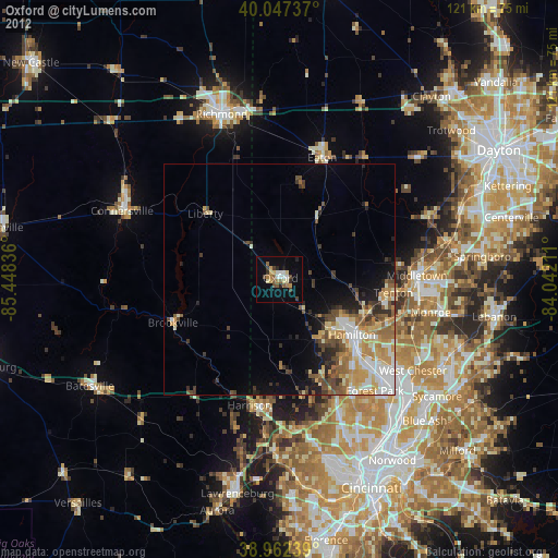
» Earth at Night: Flat Maps 2012, 2016