Fort Worth night lights from space
Night Light of Fort Worth (Texas) from space (United States) Src. Average luminocity for 10x10km area is 96.2203% and for 50x50km: 69.819%.
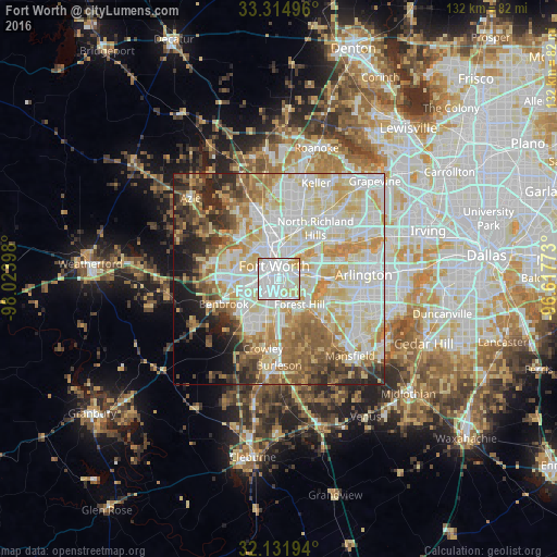
Analysis of Fort Worth night lights 2016
Square area 10x10 km:
 45.98%
90-99
39.16%80-89
11.71%70-79
3.15%60-69
0%50-59
0%40-49
0%30-39
0%20-29
0%10-19
0%0-9
0%Square area 50x50 km:
18.74%90-99
19.36%80-89
13.17%70-79
9.06%60-69
7.52%50-59
6.73%40-49
4.78%30-39
4.29%20-29
6%10-19
4.81%0-9
5.53%Clear (daylight) street map image can be seen on geolist.org.
Map coordinates:
33° 18' 53.9" North, 98° 1' 26.3" West
32° 43' 31.5" North, 97° 19' 15.1" West
32° 7' 55" North, 96° 37' 3.8" West
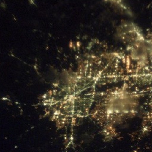
Fantastic image of Fort Worth from space taken by astronauts [src2], but I don't have information about it's orientation, scale or angle. If necessary, it was rotated manually, so North points approximately to upper direction. Click to zoom in:
Some cities around Fort Worth sort by population:
• Haltom City
9.6 km =6 mi,  30°
30°
• Benbrook
14.3 km =8.9 mi,  246°
246°
• White Settlement
13.4 km =8.3 mi,  286°
286°
• Forest Hill
7.7 km =4.8 mi,  140°
140°
• Richland Hills
13.3 km =8.3 mi,  40°
40°
• River Oaks
9 km =5.6 mi,  309°
309°
• Kennedale
12.5 km =7.8 mi,  134°
134°
• Everman
10.9 km =6.8 mi,  164°
164°
4691930 (p: 833,319)
Sources (retrieved 2019-11-25):
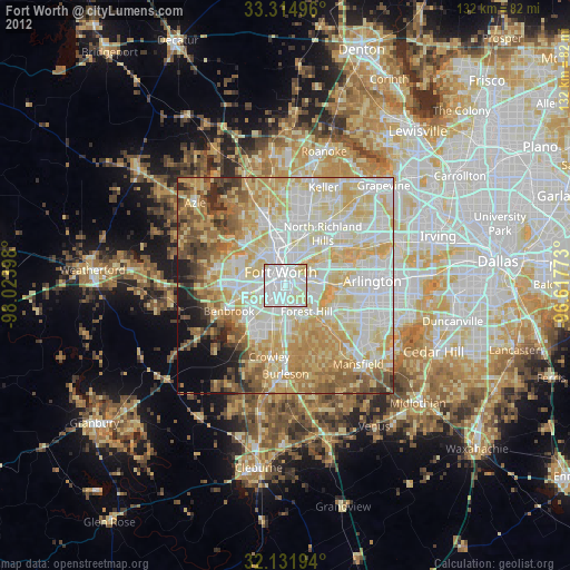
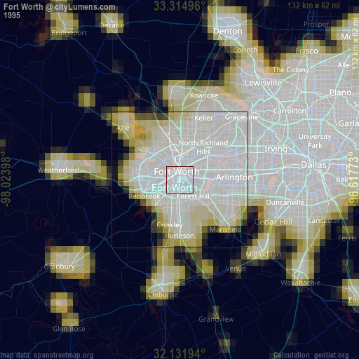
» NASA, Earths city lights 1995
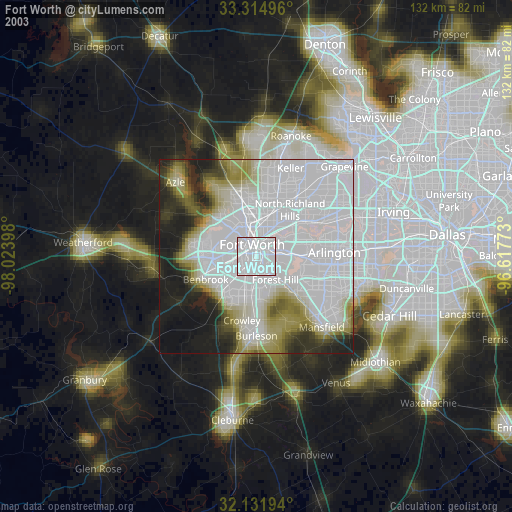
» NASA city lights 2003
» Earth at Night: Flat Maps 2012, 2016
Src.2: NASA