Revere night lights from space
Night Light of Revere (Massachusetts) from space (United States) Src. Average luminocity for 10x10km area is 83.1778% and for 50x50km: 51.7359%.
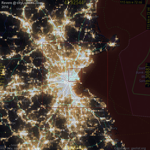
Analysis of Revere night lights 2016
Square area 10x10 km:
 40.95%
90-99
24.29%80-89
5.24%70-79
4.6%60-69
5.87%50-59
3.65%40-49
2.22%30-39
7.3%20-29
5.08%10-19
0.79%0-9
0%Square area 50x50 km:
13.3%90-99
11.33%80-89
5.83%70-79
7.19%60-69
9.44%50-59
8.19%40-49
4.96%30-39
4.2%20-29
6.86%10-19
6.74%0-9
21.97%Clear (daylight) street map image can be seen on geolist.org.
Map coordinates:
42° 55' 31.6" North, 71° 42' 54.4" West
42° 24' 30.3" North, 71° 0' 43.2" West
41° 53' 13.7" North, 70° 18' 31.9" West
Some cities around Revere sort by population:
• Boston
6.8 km =4.2 mi,  215°
215°
• Somerville
7.5 km =4.7 mi,  252°
252°
• Malden
4.8 km =3 mi,  292°
292°
• Everett
3.4 km =2.1 mi,  270°
270°
• Chelsea
2.5 km =1.6 mi, 222°
• Melrose
7.1 km =4.4 mi,  321°
321°
• Saugus
6.3 km =3.9 mi,  1°
1°
• Winthrop
4.4 km =2.7 mi,  147°
147°
4832294 (p: 53,422)
Sources (retrieved 2019-11-25):
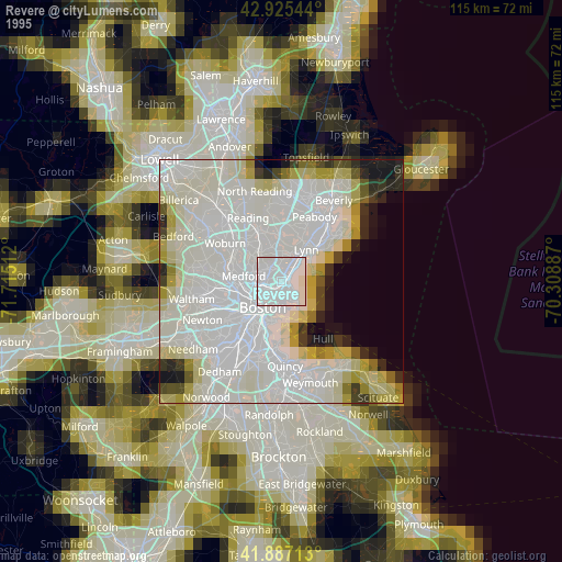
» NASA, Earths city lights 1995
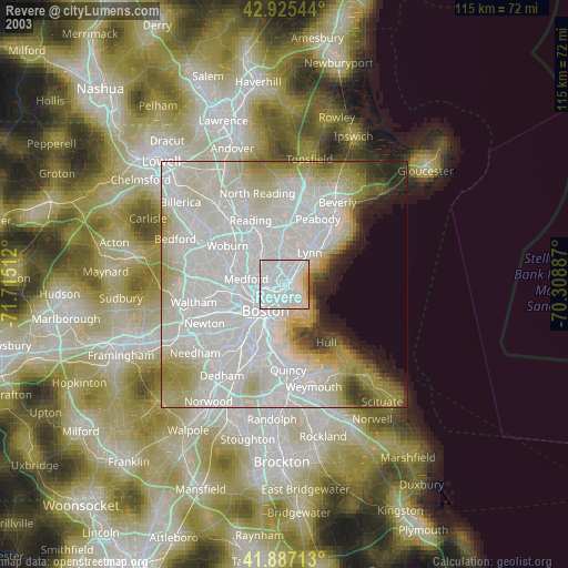
» NASA city lights 2003
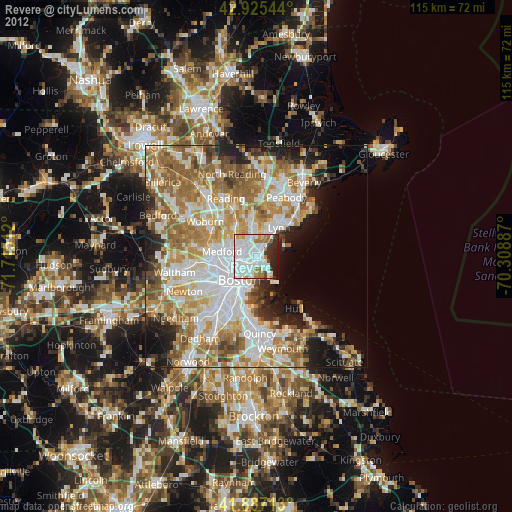
» Earth at Night: Flat Maps 2012, 2016