Saugus night lights from space
Night Light of Saugus (Massachusetts) from space (United States) Src. Average luminocity for 10x10km area is 81.6032% and for 50x50km: 48.3261%.
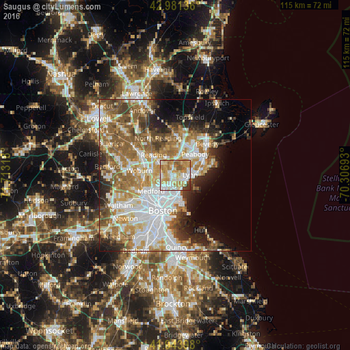
Analysis of Saugus night lights 2016
Square area 10x10 km:
 17.78%
90-99
23.97%80-89
15.4%70-79
20.63%60-69
10%50-59
6.98%40-49
1.43%30-39
3.33%20-29
0.48%10-19
0%0-9
0%Square area 50x50 km:
12.33%90-99
10.27%80-89
5.65%70-79
6.72%60-69
8.55%50-59
7.86%40-49
4.57%30-39
4.36%20-29
6.04%10-19
6.45%0-9
27.22%Clear (daylight) street map image can be seen on geolist.org.
Map coordinates:
42° 58' 52.9" North, 71° 42' 47.4" West
42° 27' 53.4" North, 71° 0' 36.2" West
41° 56' 38.3" North, 70° 18' 24.9" West
Some cities around Saugus sort by population:
• Lynn
5 km =3.1 mi,  87°
87°
• Malden
6.4 km =4 mi,  226°
226°
• Revere
6.3 km =3.9 mi,  181°
181°
• South Peabody
7 km =4.3 mi,  44°
44°
• Everett
7.2 km =4.5 mi,  209°
209°
• Melrose
4.7 km =2.9 mi,  261°
261°
• Wakefield
6.9 km =4.3 mi,  311°
311°
• Stoneham
7.5 km =4.7 mi,  283°
283°
4950267 (p: 26,628)
Sources (retrieved 2019-11-25):
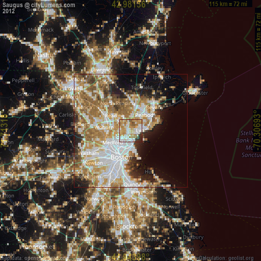
» Earth at Night: Flat Maps 2012, 2016