Boston night lights from space
Night Light of Boston (Massachusetts) from space (United States) Src. Average luminocity for 10x10km area is 93.7492% and for 50x50km: 54.7038%.
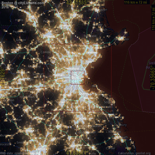
Analysis of Boston night lights 2016
Square area 10x10 km:
 73.81%
90-99
11.59%80-89
0.79%70-79
2.22%60-69
4.29%50-59
2.38%40-49
4.29%30-39
0.63%20-29
0%10-19
0%0-9
0%Square area 50x50 km:
13.71%90-99
11.91%80-89
6.16%70-79
7.66%60-69
10.34%50-59
8.99%40-49
4.99%30-39
4.01%20-29
6.73%10-19
10.17%0-9
15.33%Clear (daylight) street map image can be seen on geolist.org.
Map coordinates:
42° 52' 33.1" North, 71° 45' 46.4" West
42° 21' 30.3" North, 71° 3' 35.2" West
41° 50' 12.2" North, 70° 21' 23.9" West
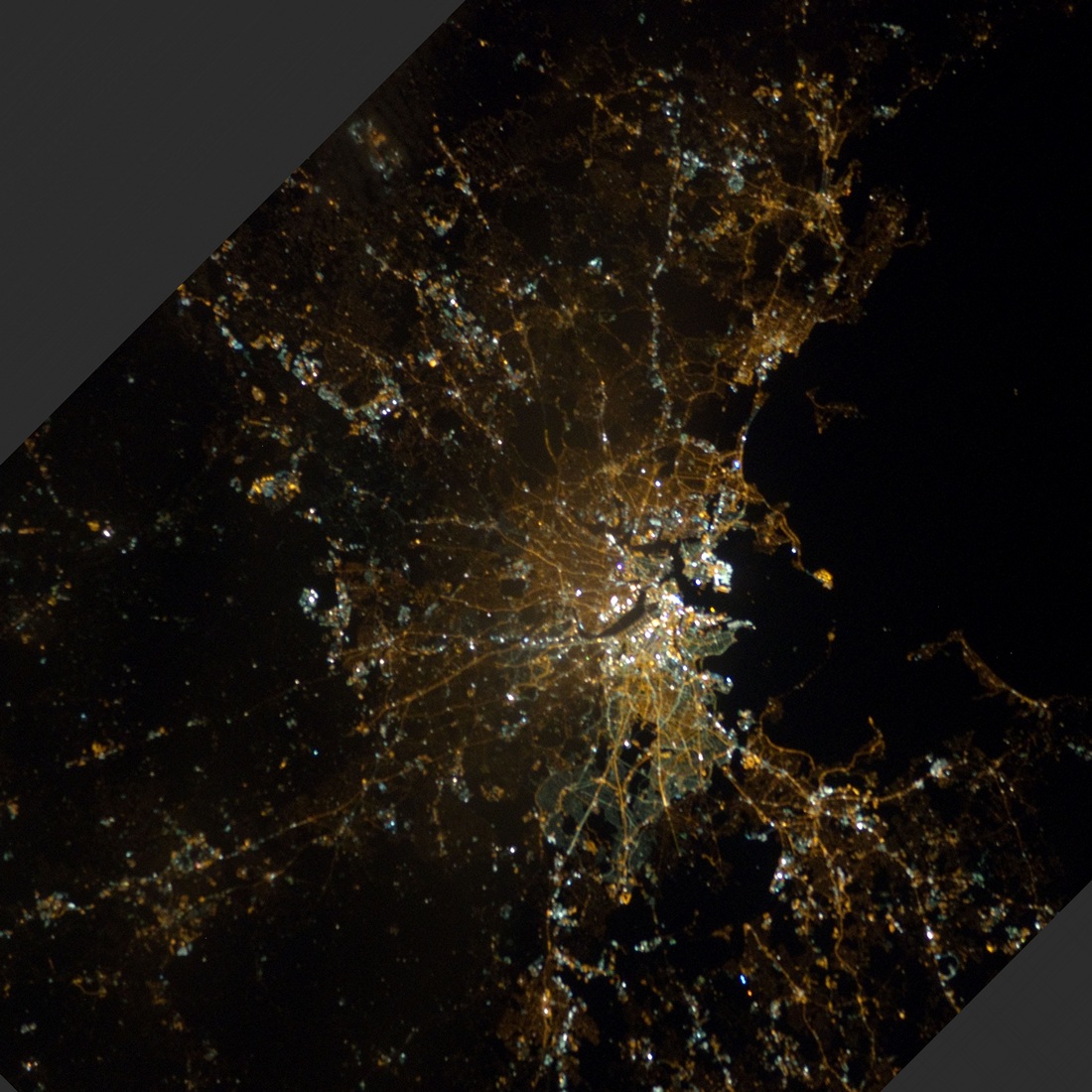
Fantastic image of Boston from space taken by astronauts [src2], but I don't have information about it's orientation, scale or angle. If necessary, it was rotated manually, so North points approximately to upper direction. Click to zoom in:
Some cities around Boston sort by population:
• South Boston
2.9 km =1.8 mi,  163°
163°
• Cambridge
4.2 km =2.6 mi,  296°
296°
• Somerville
4.6 km =2.9 mi,  314°
314°
• Brookline
5.9 km =3.7 mi,  239°
239°
• Revere
6.8 km =4.2 mi,  35°
35°
• Everett
5.6 km =3.5 mi,  5°
5°
• Chelsea
4.3 km =2.7 mi,  30°
30°
• Winthrop
6.6 km =4.1 mi,  73°
73°
4930956 (p: 667,137)
Sources (retrieved 2019-11-25):
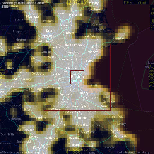
» NASA, Earths city lights 1995
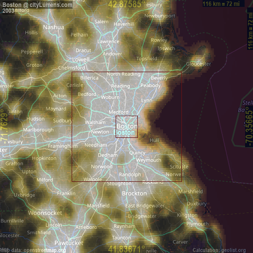
» NASA city lights 2003
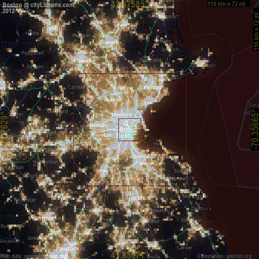
» Earth at Night: Flat Maps 2012, 2016
Src.2: by NASA Photo ID ISS034-E-32479, 2013-01-20