Chelsea night lights from space
Night Light of Chelsea (Massachusetts) from space (United States) Src. Average luminocity for 10x10km area is 91.881% and for 50x50km: 53.4585%.
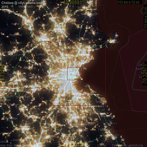
Analysis of Chelsea night lights 2016
Square area 10x10 km:
 57.94%
90-99
23.17%80-89
2.38%70-79
2.54%60-69
6.03%50-59
2.22%40-49
3.02%30-39
1.75%20-29
0.95%10-19
0%0-9
0%Square area 50x50 km:
13.56%90-99
11.68%80-89
6.07%70-79
7.37%60-69
9.96%50-59
8.53%40-49
5.17%30-39
4.38%20-29
6.75%10-19
8%0-9
18.51%Clear (daylight) street map image can be seen on geolist.org.
Map coordinates:
42° 54' 32.1" North, 71° 44' 9.5" West
42° 23' 30.3" North, 71° 1' 58.2" West
41° 52' 13.2" North, 70° 19' 47" West
Some cities around Chelsea sort by population:
• Boston
4.3 km =2.7 mi,  210°
210°
• South Boston
6.6 km =4.1 mi,  191°
191°
• Cambridge
6.3 km =3.9 mi,  252°
252°
• Somerville
5.5 km =3.4 mi,  265°
265°
• Malden
4.6 km =2.9 mi,  323°
323°
• Revere
2.5 km =1.6 mi,  42°
42°
• Everett
2.5 km =1.6 mi, 317°
• Winthrop
4.5 km =2.8 mi,  114°
114°
4932879 (p: 39,398)
Sources (retrieved 2019-11-25):
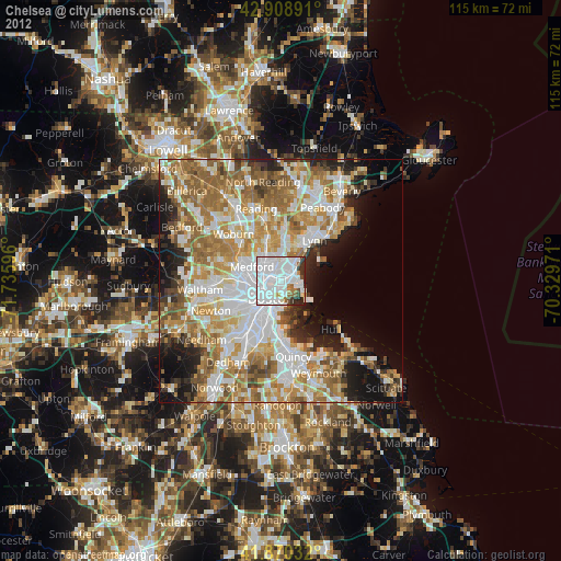
» Earth at Night: Flat Maps 2012, 2016