Winthrop night lights from space
Night Light of Winthrop (Massachusetts) from space (United States) Src. Average luminocity for 10x10km area is 57.7524% and for 50x50km: 51.2301%.
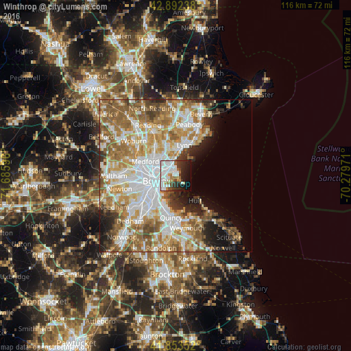
Analysis of Winthrop night lights 2016
Square area 10x10 km:
 24.92%
90-99
14.76%80-89
1.27%70-79
2.22%60-69
6.83%50-59
3.02%40-49
4.44%30-39
6.35%20-29
11.27%10-19
14.92%0-9
10%Square area 50x50 km:
13.53%90-99
11.62%80-89
5.66%70-79
7.29%60-69
9.82%50-59
8.24%40-49
4.33%30-39
3.1%20-29
5%10-19
6.02%0-9
25.39%Clear (daylight) street map image can be seen on geolist.org.
Map coordinates:
42° 53' 32.6" North, 71° 41' 9.5" West
42° 22' 30.4" North, 70° 58' 58.2" West
41° 51' 12.7" North, 70° 16' 47" West
Some cities around Winthrop sort by population:
• Boston
6.6 km =4.1 mi,  253°
253°
• South Boston
7.2 km =4.5 mi,  229°
229°
• Cambridge
10.1 km =6.3 mi,  270°
270°
• Somerville
9.7 km =6 mi,  278°
278°
• Malden
8.8 km =5.5 mi,  309°
309°
• Revere
4.4 km =2.7 mi,  327°
327°
• Everett
6.9 km =4.3 mi,  302°
302°
• Chelsea
4.5 km =2.8 mi,  294°
294°
4955993 (p: 17,618)
Sources (retrieved 2019-11-25):
» Earth at Night: Flat Maps 2012, 2016