Melrose night lights from space
Night Light of Melrose (Massachusetts) from space (United States) Src. Average luminocity for 10x10km area is 87.8222% and for 50x50km: 52.4647%.
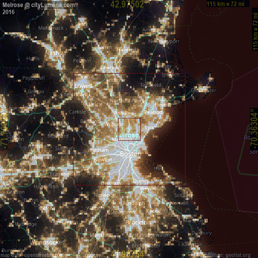
Analysis of Melrose night lights 2016
Square area 10x10 km:
 25.24%
90-99
27.62%80-89
16.03%70-79
22.22%60-69
8.25%50-59
0.63%40-49
0%30-39
0%20-29
0%10-19
0%0-9
0%Square area 50x50 km:
13.01%90-99
10.98%80-89
6.09%70-79
7.32%60-69
9.19%50-59
8.49%40-49
5.31%30-39
5.12%20-29
7.13%10-19
9.13%0-9
18.22%Clear (daylight) street map image can be seen on geolist.org.
Map coordinates:
42° 58' 30.1" North, 71° 46' 9.4" West
42° 27' 30.3" North, 71° 3' 58.2" West
41° 56' 15.1" North, 70° 21' 46.9" West
Some cities around Melrose sort by population:
• Malden
3.7 km =2.3 mi,  180°
180°
• Medford
5.5 km =3.4 mi,  216°
216°
• Revere
7.1 km =4.4 mi,  141°
141°
• Everett
5.7 km =3.5 mi,  169°
169°
• Saugus
4.7 km =2.9 mi,  81°
81°
• Wakefield
5.4 km =3.4 mi,  354°
354°
• Stoneham
3.6 km =2.2 mi,  311°
311°
• Winchester
5.9 km =3.7 mi,  263°
263°
4943677 (p: 27,997)
Sources (retrieved 2019-11-25):
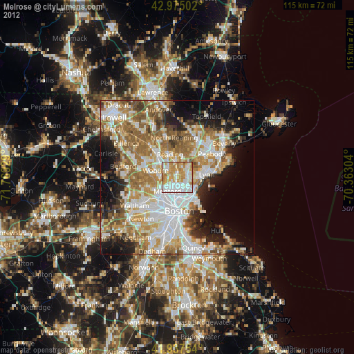
» Earth at Night: Flat Maps 2012, 2016