Briarwood night lights from space
Night Light of Briarwood (New York) from space (United States) Src. Average luminocity for 10x10km area is 99.9513% and for 50x50km: 69.3766%.
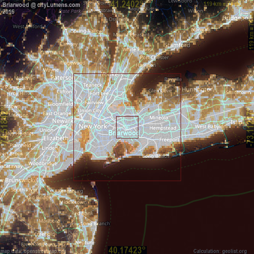
Analysis of Briarwood night lights 2016
Square area 10x10 km:
 95.62%
90-99
4.38%80-89
0%70-79
0%60-69
0%50-59
0%40-49
0%30-39
0%20-29
0%10-19
0%0-9
0%Square area 50x50 km:
39.13%90-99
15.02%80-89
3.96%70-79
4.53%60-69
4.31%50-59
3.13%40-49
2.7%30-39
2.63%20-29
4.44%10-19
6.34%0-9
13.8%Clear (daylight) street map image can be seen on geolist.org.
Map coordinates:
41° 14' 24.7" North, 74° 31' 6.3" West
40° 42' 33.7" North, 73° 48' 55" West
40° 10' 27.2" North, 73° 6' 43.8" West
Some cities around Briarwood sort by population:
• Queens
3.6 km =2.2 mi,  210°
210°
• Jamaica
2.1 km =1.3 mi,  157°
157°
• Richmond Hill
1.7 km =1.1 mi,  231°
231°
• Forest Hills
3 km =1.9 mi,  284°
284°
• Kew Gardens Hills
2.4 km =1.5 mi,  343°
343°
• Fresh Meadows
3.4 km =2.1 mi,  32°
32°
• Hillside
2.4 km =1.5 mi,  93°
93°
• Kew Gardens
1.4 km =0.9 mi,  292°
292°
6640032 (p: 53,877)
Sources (retrieved 2019-11-25):
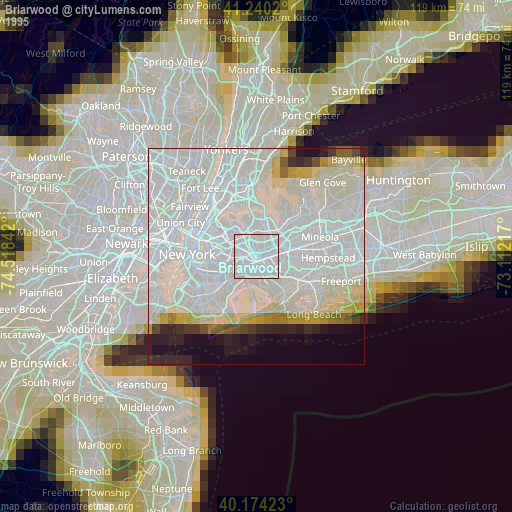
» NASA, Earths city lights 1995
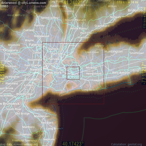
» NASA city lights 2003
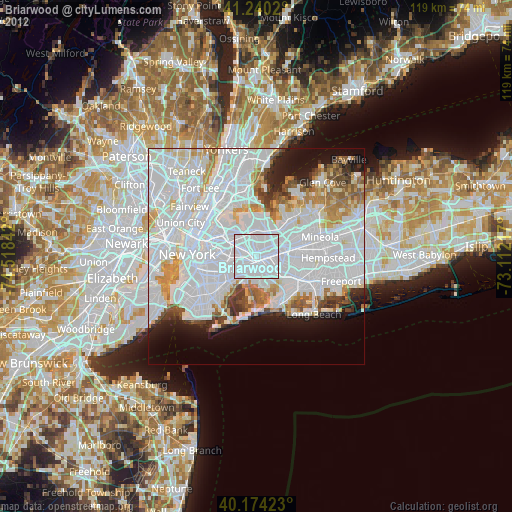
» Earth at Night: Flat Maps 2012, 2016