Inglewood-Finn Hill night lights from space
Night Light of Inglewood-Finn Hill (Washington) from space (United States) Src. Average luminocity for 10x10km area is 71.4762% and for 50x50km: 38.0845%.
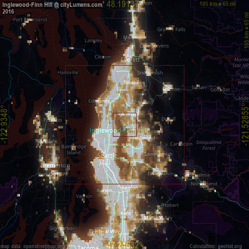
Analysis of Inglewood-Finn Hill night lights 2016
Square area 10x10 km:
 15.77%
90-99
15.33%80-89
5.51%70-79
12.2%60-69
20.98%50-59
8.78%40-49
12.35%30-39
9.08%20-29
0%10-19
0%0-9
0%Square area 50x50 km:
10.33%90-99
8.58%80-89
3%70-79
4.82%60-69
6.27%50-59
4.18%40-49
4.88%30-39
4.92%20-29
5.28%10-19
7.65%0-9
40.11%Clear (daylight) street map image can be seen on geolist.org.
Map coordinates:
48° 11' 28.9" North, 122° 56' 5.3" West
47° 43' 13.8" North, 122° 13' 54" West
47° 14' 43.2" North, 121° 31' 42.8" West
Some cities around Inglewood-Finn Hill sort by population:
• Kirkland
4.7 km =2.9 mi,  158°
158°
• Shoreline
9.1 km =5.7 mi,  295°
295°
• Bothell
5 km =3.1 mi,  22°
22°
• Kenmore
4.2 km =2.6 mi,  347°
347°
• Lake Forest Park
5.5 km =3.4 mi,  317°
317°
• Kingsgate
4 km =2.5 mi,  79°
79°
• Woodinville
6.3 km =3.9 mi,  53°
53°
• Brier
7.8 km =4.8 mi,  335°
335°
7261476 (p: 22,707)
Sources (retrieved 2019-11-25):
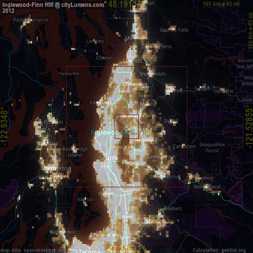
» Earth at Night: Flat Maps 2012, 2016