Kirkland night lights from space
Night Light of Kirkland (Washington) from space (United States) Src. Average luminocity for 10x10km area is 67.9985% and for 50x50km: 39.1117%.
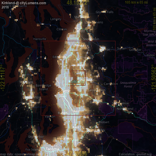

Analysis of Kirkland night lights 2016
Square area 10x10 km:
 13.69%
90-99
15.48%80-89
5.8%70-79
11.61%60-69
15.03%50-59
8.63%40-49
11.46%30-39
18.3%20-29
0%10-19
0%0-9
0%Square area 50x50 km:
10.82%90-99
8.97%80-89
3.05%70-79
4.89%60-69
6.33%50-59
4.35%40-49
4.95%30-39
4.93%20-29
4.87%10-19
7.51%0-9
39.32%Clear (daylight) street map image can be seen on geolist.org.
Map coordinates:
48° 9' 9.8" North, 122° 54' 42.7" West
47° 40' 53.4" North, 122° 12' 31.5" West
47° 12' 21.5" North, 121° 30' 20.2" West
Some cities around Kirkland sort by population:
• Bellevue
7.9 km =4.9 mi,  175°
175°
• Redmond
6.6 km =4.1 mi,  97°
97°
• Bothell
9 km =5.6 mi,  1°
1°
• Inglewood-Finn Hill
4.7 km =2.9 mi,  338°
338°
• Kenmore
8.8 km =5.5 mi, 342°
• Lake Forest Park
10 km =6.2 mi,  327°
327°
• Kingsgate
5.5 km =3.4 mi,  23°
23°
• Woodinville
8.8 km =5.5 mi, 22°
5799841 (p: 87,281)
Sources (retrieved 2019-11-25):
» NASA, Earths city lights 1995
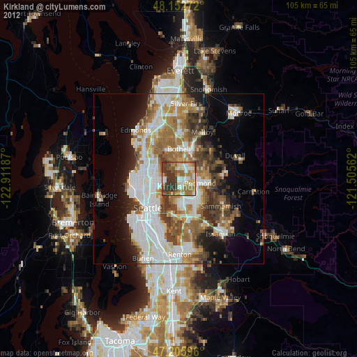
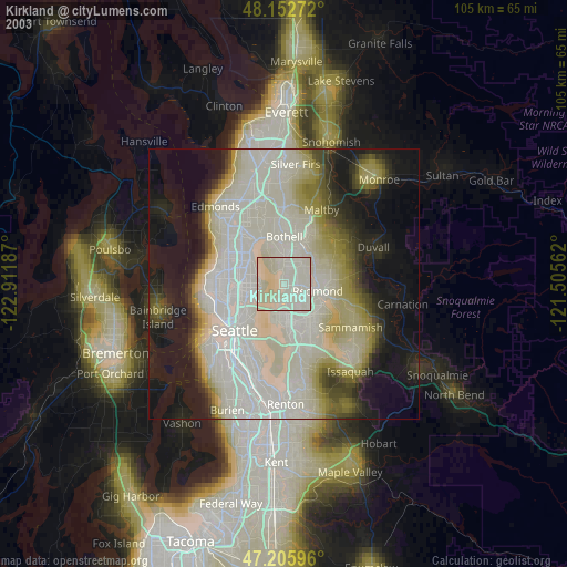
» NASA city lights 2003
» Earth at Night: Flat Maps 2012, 2016