Raytown night lights from space
Night Light of Raytown (Missouri) from space (United States) Src. Average luminocity for 10x10km area is 84.6591% and for 50x50km: 60.0064%.
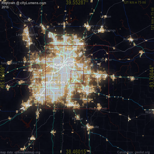
Analysis of Raytown night lights 2016
Square area 10x10 km:
 21.92%
90-99
31.17%80-89
14.29%70-79
12.82%60-69
8.93%50-59
5.68%40-49
5.19%30-39
0%20-29
0%10-19
0%0-9
0%Square area 50x50 km:
17.39%90-99
15.83%80-89
8.74%70-79
6.84%60-69
7.35%50-59
6.06%40-49
5.18%30-39
5.02%20-29
5.59%10-19
6.36%0-9
15.63%Clear (daylight) street map image can be seen on geolist.org.
Map coordinates:
39° 33' 10.3" North, 95° 10' 0.1" West
39° 0' 31" North, 94° 27' 48.8" West
38° 27' 36.5" North, 93° 45' 37.6" West
Some cities around Raytown sort by population:
• Kansas City
14.2 km =8.8 mi,  315°
315°
• Independence
10.1 km =6.3 mi,  24°
24°
• East Independence
13.5 km =8.4 mi,  44°
44°
• Lee's Summit
13 km =8.1 mi,  147°
147°
• Leawood
14 km =8.7 mi,  250°
250°
• Grandview
14.9 km =9.3 mi,  203°
203°
• Prairie Village
14.8 km =9.2 mi,  262°
262°
• Roeland Park
14.9 km =9.3 mi,  282°
282°
4405188 (p: 29,401)
Sources (retrieved 2019-11-25):
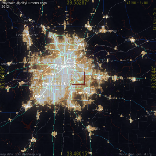
» Earth at Night: Flat Maps 2012, 2016