Leawood night lights from space
Night Light of Leawood (Kansas) from space (United States) Src. Average luminocity for 10x10km area is 94.1964% and for 50x50km: 65.7927%.
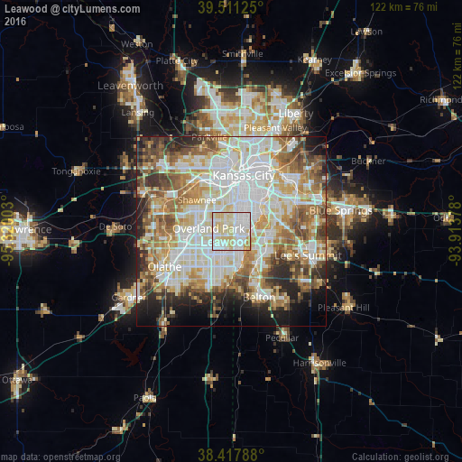
Analysis of Leawood night lights 2016
Square area 10x10 km:
 37.34%
90-99
34.25%80-89
24.19%70-79
3.9%60-69
0.32%50-59
0%40-49
0%30-39
0%20-29
0%10-19
0%0-9
0%Square area 50x50 km:
18.47%90-99
17.28%80-89
9.39%70-79
7.4%60-69
8.85%50-59
7.49%40-49
5.99%30-39
5.6%20-29
6.4%10-19
6.63%0-9
6.5%Clear (daylight) street map image can be seen on geolist.org.
Map coordinates:
39° 30' 40.5" North, 95° 19' 12.1" West
38° 58' 0" North, 94° 37' 0.8" West
38° 25' 4.4" North, 93° 54' 49.6" West
Some cities around Leawood sort by population:
• Overland Park
5 km =3.1 mi,  290°
290°
• Shawnee
12.2 km =7.6 mi,  313°
313°
• Lenexa
10.2 km =6.3 mi,  261°
261°
• Grandview
11.6 km =7.2 mi,  141°
141°
• Prairie Village
3.1 km =1.9 mi,  332°
332°
• Merriam
9.2 km =5.7 mi, 313°
• Mission
7.6 km =4.7 mi, 333°
• Roeland Park
8 km =5 mi,  350°
350°
4274317 (p: 34,579)
Sources (retrieved 2019-11-25):
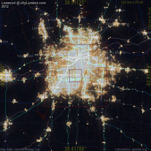
» Earth at Night: Flat Maps 2012, 2016