Punxsutawney night lights from space
Night Light of Punxsutawney (Pennsylvania) from space (United States) Src. Average luminocity for 10x10km area is 11.6888% and for 50x50km: 2.1692%.
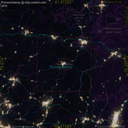
Analysis of Punxsutawney night lights 2016
Square area 10x10 km:
 0.34%
0.34%90-99
1.87%80-89
2.55%70-79
0.17%60-69
1.87%50-59
2.38%40-49
1.02%30-39
2.89%20-29
3.23%10-19
0%0-9
83.67%Square area 50x50 km:
0.15%90-99
0.25%80-89
0.4%70-79
0.19%60-69
0.44%50-59
0.29%40-49
0.21%30-39
0.31%20-29
0.47%10-19
1.2%0-9
96.09%Clear (daylight) street map image can be seen on geolist.org.
Map coordinates:
41° 28' 21.5" North, 79° 40' 26.4" West
40° 56' 37.2" North, 78° 58' 15.1" West
40° 24' 37.6" North, 78° 16' 3.9" West
Some cities around Punxsutawney sort by population:
• Altoona
67.7 km =42.1 mi,  134°
134°
• Indiana
39 km =24.2 mi,  203°
203°
• Saint Marys
63.8 km =39.6 mi,  32°
32°
• Shiloh
58.1 km =36.1 mi,  79°
79°
• DuBois
26.3 km =16.3 mi,  42°
42°
• Clarion
46 km =28.6 mi,  310°
310°
• Clearfield
45.6 km =28.3 mi, 78°
• Vandergrift
62.7 km =39 mi,  232°
232°
5207307 (p: 5,861)
Sources (retrieved 2019-11-25):
» Earth at Night: Flat Maps 2012, 2016