Saint Marys night lights from space
Night Light of Saint Marys (Pennsylvania) from space (United States) Src. Average luminocity for 10x10km area is 17.9932% and for 50x50km: 1.4755%.
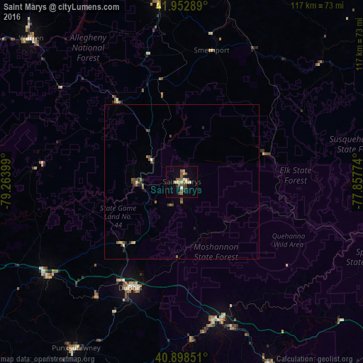
Analysis of Saint Marys night lights 2016
Square area 10x10 km:
 0%
0%90-99
1.87%80-89
5.95%70-79
0.34%60-69
2.38%50-59
5.44%40-49
2.55%30-39
2.55%20-29
1.36%10-19
7.31%0-9
70.24%Square area 50x50 km:
0.01%90-99
0.1%80-89
0.3%70-79
0.1%60-69
0.27%50-59
0.36%40-49
0.32%30-39
0.28%20-29
0.31%10-19
0.4%0-9
97.55%Clear (daylight) street map image can be seen on geolist.org.
Map coordinates:
41° 57' 10.4" North, 79° 15' 50.4" West
41° 25' 40.2" North, 78° 33' 39.1" West
40° 53' 54.6" North, 77° 51' 27.9" West
Some cities around Saint Marys sort by population:
• Olean
73.1 km =45.4 mi,  8°
8°
• Shiloh
48.5 km =30.1 mi,  152°
152°
• Warren
67.1 km =41.7 mi,  313°
313°
• Bradford
59.1 km =36.7 mi,  353°
353°
• DuBois
38.1 km =23.7 mi,  205°
205°
• Clarion
72.8 km =45.2 mi,  251°
251°
• Clearfield
45.7 km =28.4 mi,  167°
167°
• Punxsutawney
63.8 km =39.6 mi, 212°
5210117 (p: 13,070)
Sources (retrieved 2019-11-25):
» Earth at Night: Flat Maps 2012, 2016