Clarion night lights from space
Night Light of Clarion (Pennsylvania) from space (United States) Src. Average luminocity for 10x10km area is 13.8799% and for 50x50km: 1.4247%.
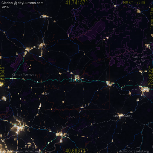
Analysis of Clarion night lights 2016
Square area 10x10 km:
 0.32%
0.32%90-99
1.14%80-89
1.79%70-79
1.79%60-69
2.76%50-59
2.27%40-49
4.38%30-39
2.27%20-29
4.22%10-19
0.49%0-9
78.57%Square area 50x50 km:
0.05%90-99
0.12%80-89
0.24%70-79
0.07%60-69
0.21%50-59
0.22%40-49
0.45%30-39
0.28%20-29
0.47%10-19
0.14%0-9
97.75%Clear (daylight) street map image can be seen on geolist.org.
Map coordinates:
41° 44' 29.7" North, 80° 5' 18.4" West
41° 12' 53.2" North, 79° 23' 7.2" West
40° 41' 1.4" North, 78° 40' 55.9" West
Some cities around Clarion sort by population:
• Butler
58.1 km =36.1 mi,  227°
227°
• Oil City
36.2 km =22.5 mi,  312°
312°
• DuBois
53.4 km =33.2 mi,  101°
101°
• Franklin
42.5 km =26.4 mi,  298°
298°
• Punxsutawney
46 km =28.6 mi,  130°
130°
• Titusville
51.8 km =32.2 mi,  332°
332°
• Sugarcreek
47.4 km =29.5 mi, 299°
• Shanor-Northvue
55.9 km =34.7 mi, 232°
5184422 (p: 6,089)
Sources (retrieved 2019-11-25):
» Earth at Night: Flat Maps 2012, 2016