Princeton night lights from space
Night Light of Princeton (Illinois) from space (United States) Src. Average luminocity for 10x10km area is 17.1344% and for 50x50km: 3.241%.
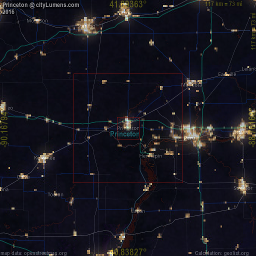
Analysis of Princeton night lights 2016
Square area 10x10 km:
 2.21%
2.21%90-99
2.55%80-89
1.87%70-79
3.06%60-69
1.53%50-59
1.36%40-49
4.42%30-39
1.36%20-29
1.7%10-19
6.8%0-9
73.13%Square area 50x50 km:
0.13%90-99
0.16%80-89
0.42%70-79
0.52%60-69
0.49%50-59
0.67%40-49
0.66%30-39
0.54%20-29
0.71%10-19
1.62%0-9
94.09%Clear (daylight) street map image can be seen on geolist.org.
Map coordinates:
41° 53' 37.1" North, 90° 10' 4.6" West
41° 22' 5.1" North, 89° 27' 53.3" West
40° 50' 17.8" North, 88° 45' 42.1" West
Some cities around Princeton sort by population:
• Sterling
50.6 km =31.4 mi,  337°
337°
• Kewanee
40.8 km =25.4 mi,  250°
250°
• Peru
28.4 km =17.6 mi,  99°
99°
• La Salle
31.4 km =19.5 mi, 97°
• Rock Falls
49.4 km =30.7 mi, 337°
• Mendota
35.1 km =21.8 mi,  55°
55°
• Chillicothe
49.6 km =30.8 mi,  182°
182°
• Spring Valley
22.6 km =14 mi, 101°
4906818 (p: 7,594)
Sources (retrieved 2019-11-25):
» Earth at Night: Flat Maps 2012, 2016