Potomac night lights from space
Night Light of Potomac (Maryland) from space (United States) Src. Average luminocity for 10x10km area is 60.1331% and for 50x50km: 69.0507%.
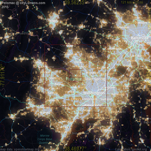
Analysis of Potomac night lights 2016
Square area 10x10 km:
 2.6%
2.6%90-99
3.08%80-89
5.84%70-79
15.42%60-69
24.68%50-59
22.56%40-49
13.31%30-39
10.06%20-29
2.44%10-19
0%0-9
0%Square area 50x50 km:
21.3%90-99
16.75%80-89
8.78%70-79
11.1%60-69
10.6%50-59
7.67%40-49
4.05%30-39
3.02%20-29
4.2%10-19
4.85%0-9
7.68%Clear (daylight) street map image can be seen on geolist.org.
Map coordinates:
39° 33' 44.5" North, 77° 54' 42.2" West
39° 1' 5.4" North, 77° 12' 30.9" West
38° 28' 11.2" North, 76° 30' 19.7" West
Some cities around Potomac sort by population:
• Rockville
8.8 km =5.5 mi,  33°
33°
• Bethesda
10.2 km =6.3 mi,  114°
114°
• McLean
9.7 km =6 mi,  163°
163°
• North Bethesda
8.3 km =5.2 mi,  69°
69°
• North Potomac
8.7 km =5.4 mi,  325°
325°
• Wolf Trap
11 km =6.8 mi,  217°
217°
• Great Falls
7.2 km =4.5 mi,  252°
252°
• Travilah
7.4 km =4.6 mi,  320°
320°
4366001 (p: 44,965)
Sources (retrieved 2019-11-25):
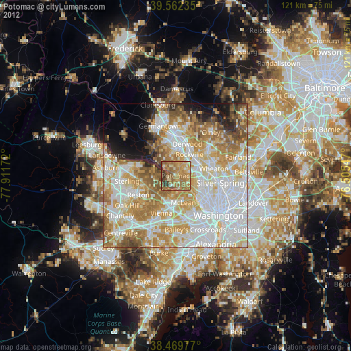
» Earth at Night: Flat Maps 2012, 2016