North Potomac night lights from space
Night Light of North Potomac (Maryland) from space (United States) Src. Average luminocity for 10x10km area is 54.2029% and for 50x50km: 57.4037%.
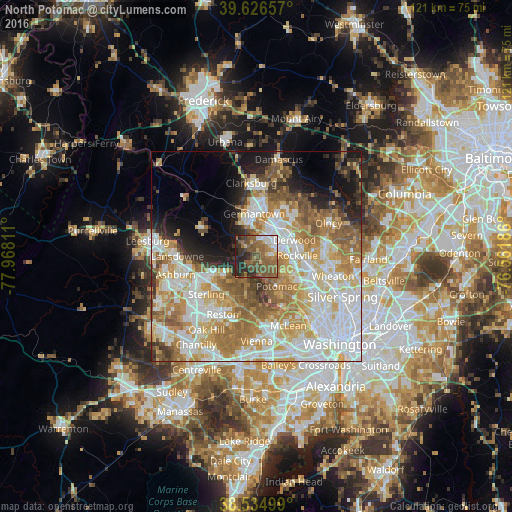
Analysis of North Potomac night lights 2016
Square area 10x10 km:
 5.84%
5.84%90-99
6.49%80-89
5.03%70-79
2.11%60-69
14.12%50-59
25.49%40-49
13.64%30-39
7.47%20-29
18.02%10-19
1.79%0-9
0%Square area 50x50 km:
15.34%90-99
12.83%80-89
7.72%70-79
9.08%60-69
9.79%50-59
7.52%40-49
4.09%30-39
3.72%20-29
5.06%10-19
8.03%0-9
16.82%Clear (daylight) street map image can be seen on geolist.org.
Map coordinates:
39° 37' 35.7" North, 77° 58' 5.2" West
39° 4' 58.4" North, 77° 15' 53.9" West
38° 32' 6" North, 76° 33' 42.7" West
Some cities around North Potomac sort by population:
• Germantown
10.1 km =6.3 mi,  356°
356°
• Gaithersburg
8.7 km =5.4 mi,  39°
39°
• Rockville
9.7 km =6 mi,  89°
89°
• Potomac
8.7 km =5.4 mi,  145°
145°
• Great Falls
9.6 km =6 mi,  192°
192°
• Travilah
1.6 km =1 mi,  173°
173°
• Lowes Island
8 km =5 mi,  251°
251°
• Darnestown
3.2 km =2 mi,  315°
315°
4363990 (p: 24,410)
Sources (retrieved 2019-11-25):
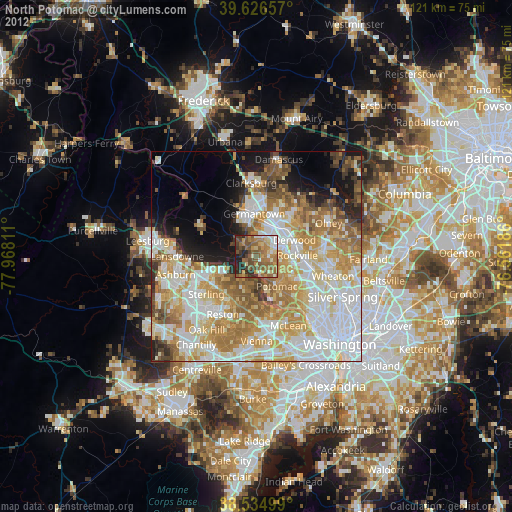
» Earth at Night: Flat Maps 2012, 2016