McLean night lights from space
Night Light of McLean (Virginia) from space (United States) Src. Average luminocity for 10x10km area is 82.9626% and for 50x50km: 76.4414%.
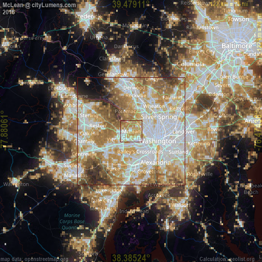
Analysis of McLean night lights 2016
Square area 10x10 km:
 17.86%
90-99
19.05%80-89
19.9%70-79
27.38%60-69
9.35%50-59
5.27%40-49
0.85%30-39
0.34%20-29
0%10-19
0%0-9
0%Square area 50x50 km:
23.88%90-99
18.67%80-89
10.43%70-79
13.15%60-69
11.28%50-59
8.07%40-49
4.19%30-39
3.28%20-29
3.19%10-19
1.99%0-9
1.86%Clear (daylight) street map image can be seen on geolist.org.
Map coordinates:
39° 28' 44.8" North, 77° 52' 50.2" West
38° 56' 3.4" North, 77° 10' 38.9" West
38° 23' 6.9" North, 76° 28' 27.7" West
Some cities around McLean sort by population:
• West Falls Church
7.8 km =4.8 mi,  186°
186°
• Tysons Corner
4.9 km =3 mi,  249°
249°
• Idylwood
5.3 km =3.3 mi,  214°
214°
• Merrifield
7.9 km =4.9 mi, 212°
• Falls Church
5.8 km =3.6 mi,  174°
174°
• Seven Corners
7.2 km =4.5 mi,  164°
164°
• Dunn Loring
5.9 km =3.7 mi,  220°
220°
• Pimmit Hills
3.1 km =1.9 mi, 220°
4772354 (p: 48,115)
Sources (retrieved 2019-11-25):
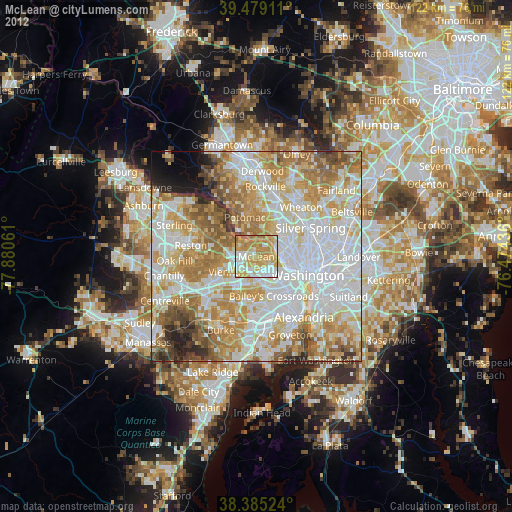
» Earth at Night: Flat Maps 2012, 2016