North Bethesda night lights from space
Night Light of North Bethesda (Maryland) from space (United States) Src. Average luminocity for 10x10km area is 90.4123% and for 50x50km: 70.4258%.
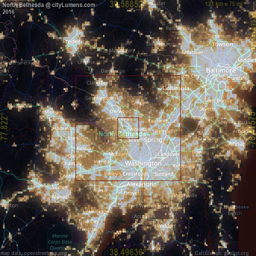
Analysis of North Bethesda night lights 2016
Square area 10x10 km:
 25.81%
90-99
31.66%80-89
26.3%70-79
11.53%60-69
4.71%50-59
0%40-49
0%30-39
0%20-29
0%10-19
0%0-9
0%Square area 50x50 km:
22.53%90-99
16.59%80-89
8.71%70-79
11.19%60-69
10.63%50-59
8.08%40-49
4.07%30-39
3.25%20-29
4.19%10-19
4.66%0-9
6.09%Clear (daylight) street map image can be seen on geolist.org.
Map coordinates:
39° 35' 18.7" North, 77° 49' 19.2" West
39° 2' 40.4" North, 77° 7' 7.9" West
38° 29' 46.9" North, 76° 24' 56.7" West
Some cities around North Bethesda sort by population:
• Rockville
5.3 km =3.3 mi,  326°
326°
• Bethesda
7.3 km =4.5 mi,  167°
167°
• Aspen Hill
5.6 km =3.5 mi,  45°
45°
• Wheaton
5.5 km =3.4 mi,  95°
95°
• Glenmont
6.2 km =3.9 mi,  76°
76°
• Chevy Chase
6.2 km =3.9 mi,  138°
138°
• South Kensington
4.4 km =2.7 mi,  130°
130°
• Forest Glen
6.5 km =4 mi,  121°
121°
4363843 (p: 43,828)
Sources (retrieved 2019-11-25):
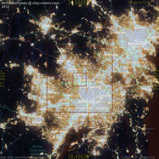
» Earth at Night: Flat Maps 2012, 2016