Ponca City night lights from space
Night Light of Ponca City (Oklahoma) from space (United States) Src. Average luminocity for 10x10km area is 54.3205% and for 50x50km: 4.8066%.
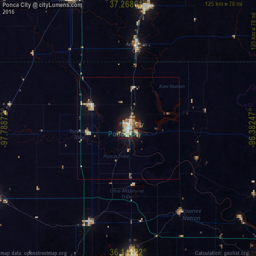
Analysis of Ponca City night lights 2016
Square area 10x10 km:
 7.14%
7.14%90-99
9.52%80-89
14.65%70-79
8.79%60-69
6.23%50-59
9.89%40-49
5.31%30-39
4.4%20-29
12.09%10-19
20.51%0-9
1.47%Square area 50x50 km:
0.35%90-99
0.62%80-89
0.99%70-79
0.73%60-69
0.58%50-59
0.58%40-49
0.6%30-39
0.73%20-29
0.77%10-19
3.23%0-9
90.85%Clear (daylight) street map image can be seen on geolist.org.
Map coordinates:
37° 16' 7" North, 97° 47' 19.4" West
36° 42' 25.1" North, 97° 5' 8.1" West
36° 8' 28.4" North, 96° 22' 56.9" West
Some cities around Ponca City sort by population:
• Enid
78.8 km =49 mi,  243°
243°
• Stillwater
65.8 km =40.9 mi,  177°
177°
• Winfield
59.8 km =37.2 mi,  7°
7°
• Arkansas City
39.7 km =24.7 mi, 6°
• Wellington
67.1 km =41.7 mi,  337°
337°
• Cushing
85.2 km =52.9 mi,  160°
160°
• Blackwell
20.6 km =12.8 mi,  301°
301°
• Perry
49.8 km =30.9 mi,  201°
201°
4548267 (p: 24,758)
Sources (retrieved 2019-11-25):
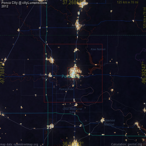
» Earth at Night: Flat Maps 2012, 2016