Blackwell night lights from space
Night Light of Blackwell (Oklahoma) from space (United States) Src. Average luminocity for 10x10km area is 19.1451% and for 50x50km: 4.8308%.
Analysis of Blackwell night lights 2016
Square area 10x10 km:
 1.75%
1.75%90-99
1.92%80-89
5.94%70-79
2.97%60-69
0.7%50-59
1.75%40-49
1.75%30-39
2.45%20-29
0.87%10-19
12.59%0-9
67.31%Square area 50x50 km:
0.35%90-99
0.59%80-89
1.02%70-79
0.77%60-69
0.5%50-59
0.68%40-49
0.58%30-39
0.69%20-29
0.81%10-19
3.21%0-9
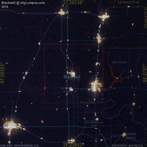
90.79%Clear (daylight) street map image can be seen on geolist.org.
Map coordinates:
37° 21' 55.4" North, 97° 59' 9.4" West
36° 48' 16.1" North, 97° 16' 58.2" West
36° 14' 21.9" North, 96° 34' 46.9" West
Some cities around Blackwell sort by population:
• Enid
70 km =43.5 mi,  229°
229°
• Stillwater
79.2 km =49.2 mi,  165°
165°
• Ponca City
20.6 km =12.8 mi,  121°
121°
• Winfield
54.7 km =34 mi,  27°
27°
• Arkansas City
35.9 km =22.3 mi,  37°
37°
• Wellington
51.8 km =32.2 mi,  351°
351°
• Mulvane
74.6 km =46.4 mi,  2°
2°
• Perry
57.3 km =35.6 mi,  180°
180°
4530866 (p: 6,875)
Sources (retrieved 2019-11-25):
» Earth at Night: Flat Maps 2012, 2016