Enid night lights from space
Night Light of Enid (Oklahoma) from space (United States) Src. Average luminocity for 10x10km area is 62.2622% and for 50x50km: 4.6609%.
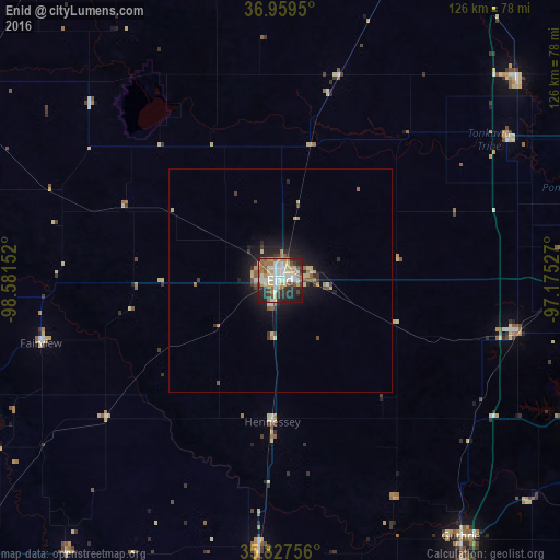
Analysis of Enid night lights 2016
Square area 10x10 km:
 11.01%
90-99
16.43%80-89
11.71%70-79
9.27%60-69
8.22%50-59
6.12%40-49
4.37%30-39
6.99%20-29
17.48%10-19
8.22%0-9
0.17%Square area 50x50 km:
0.5%90-99
0.74%80-89
0.84%70-79
0.61%60-69
0.5%50-59
0.66%40-49
0.37%30-39
0.83%20-29
1.33%10-19
3.37%0-9
90.26%Clear (daylight) street map image can be seen on geolist.org.
Map coordinates:
36° 57' 34.2" North, 98° 34' 53.5" West
36° 23' 44.1" North, 97° 52' 42.2" West
35° 49' 39.2" North, 97° 10' 31" West
Some cities around Enid sort by population:
• Edmond
90.1 km =56 mi,  156°
156°
• Stillwater
79.8 km =49.6 mi,  112°
112°
• Ponca City
78.8 km =49 mi,  63°
63°
• Guthrie
70.4 km =43.7 mi,  144°
144°
• Piedmont
84.6 km =52.6 mi,  171°
171°
• Blackwell
70 km =43.5 mi,  49°
49°
• Alva
83.8 km =52.1 mi,  302°
302°
• Perry
54.2 km =33.7 mi,  102°
102°
4535961 (p: 51,776)
Sources (retrieved 2019-11-25):
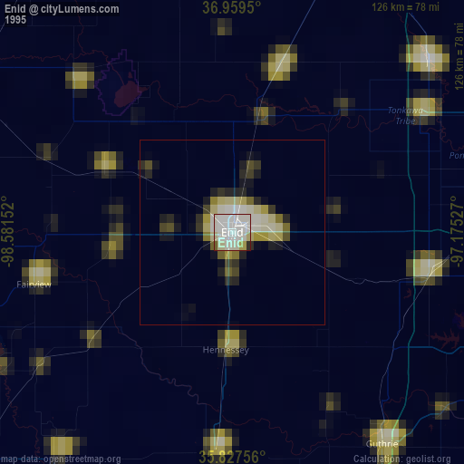
» NASA, Earths city lights 1995
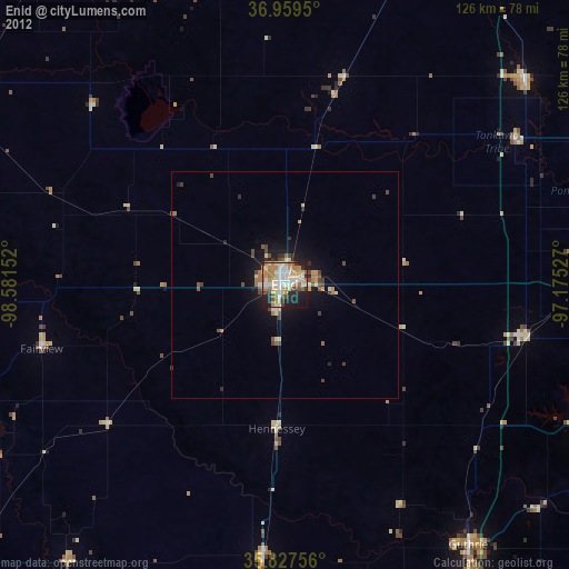
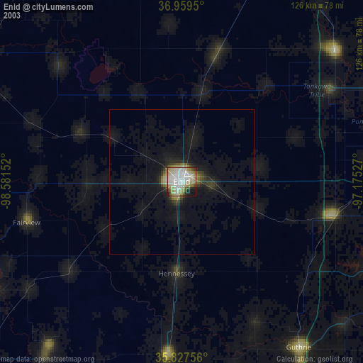
» NASA city lights 2003
» Earth at Night: Flat Maps 2012, 2016