Winfield night lights from space
Night Light of Winfield (Kansas) from space (United States) Src. Average luminocity for 10x10km area is 31.4677% and for 50x50km: 2.8726%.
Analysis of Winfield night lights 2016
Square area 10x10 km:
 4.76%
4.76%90-99
2.72%80-89
9.86%70-79
3.4%60-69
2.72%50-59
3.23%40-49
2.21%30-39
2.89%20-29
3.06%10-19
37.93%0-9
27.21%Square area 50x50 km:
0.24%90-99
0.23%80-89
0.73%70-79
0.32%60-69
0.18%50-59
0.38%40-49
0.31%30-39
0.45%20-29
0.38%10-19
2.35%0-9
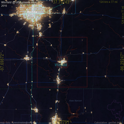
94.42%Clear (daylight) street map image can be seen on geolist.org.
Map coordinates:
37° 47' 50.7" North, 97° 41' 55.4" West
37° 14' 23.1" North, 96° 59' 44.1" West
36° 40' 40.5" North, 96° 17' 32.9" West
Some cities around Winfield sort by population:
• Derby
41.7 km =25.9 mi,  324°
324°
• Andover
54.2 km =33.7 mi,  346°
346°
• Arkansas City
20.1 km =12.5 mi,  190°
190°
• Haysville
47.9 km =29.8 mi, 318°
• Augusta
49.7 km =30.9 mi,  1°
1°
• Wellington
33.4 km =20.8 mi,  274°
274°
• Blackwell
54.7 km =34 mi,  207°
207°
• Mulvane
34.1 km =21.2 mi, 319°
4281897 (p: 12,204)
Sources (retrieved 2019-11-25):
» Earth at Night: Flat Maps 2012, 2016