Pleasant Prairie night lights from space
Night Light of Pleasant Prairie (Wisconsin) from space (United States) Src. Average luminocity for 10x10km area is 60.9952% and for 50x50km: 30.0782%.
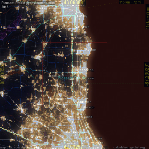
Analysis of Pleasant Prairie night lights 2016
Square area 10x10 km:
 13.81%
90-99
11.9%80-89
10.16%70-79
8.57%60-69
9.84%50-59
9.05%40-49
5.71%30-39
7.94%20-29
8.73%10-19
13.97%0-9
0.32%Square area 50x50 km:
4.11%90-99
4.68%80-89
3.23%70-79
4.15%60-69
5.19%50-59
6.37%40-49
6.01%30-39
5.14%20-29
7.92%10-19
10.86%0-9
42.34%Clear (daylight) street map image can be seen on geolist.org.
Map coordinates:
43° 4' 8" North, 88° 38' 11.5" West
42° 33' 11.1" North, 87° 56' 0.3" West
42° 1' 58.7" North, 87° 13' 49" West
Some cities around Pleasant Prairie sort by population:
• Kenosha
9.8 km =6.1 mi,  69°
69°
• Zion
14.5 km =9 mi,  145°
145°
• Antioch
15.7 km =9.8 mi,  237°
237°
• Beach Park
15.8 km =9.8 mi,  156°
156°
• Salem
14.5 km =9 mi,  270°
270°
• Somers
9.9 km =6.2 mi,  11°
11°
• Sturtevant
16.4 km =10.2 mi, 11°
• Winthrop Harbor
12.2 km =7.6 mi,  132°
132°
5267403 (p: 20,726)
Sources (retrieved 2019-11-25):
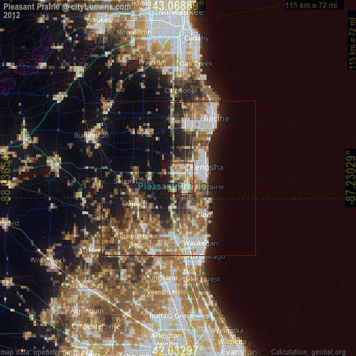
» Earth at Night: Flat Maps 2012, 2016