Kenosha night lights from space
Night Light of Kenosha (Wisconsin) from space (United States) Src. Average luminocity for 10x10km area is 56.5394% and for 50x50km: 24.3435%.
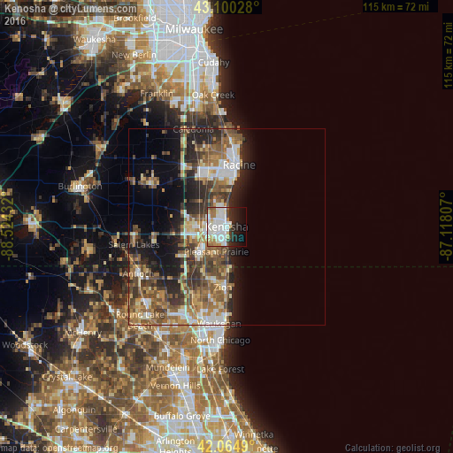
Analysis of Kenosha night lights 2016
Square area 10x10 km:
 19.55%
90-99
18.33%80-89
3.79%70-79
4.7%60-69
4.7%50-59
3.33%40-49
2.42%30-39
3.18%20-29
11.21%10-19
13.79%0-9
15%Square area 50x50 km:
3.52%90-99
3.94%80-89
2.56%70-79
3.25%60-69
4.05%50-59
5.28%40-49
4.57%30-39
4.16%20-29
6.6%10-19
8.52%0-9
53.56%Clear (daylight) street map image can be seen on geolist.org.
Map coordinates:
43° 6' 1" North, 88° 31' 27.6" West
42° 35' 5.1" North, 87° 49' 16.3" West
42° 3' 53.6" North, 87° 7' 5.1" West
Some cities around Kenosha sort by population:
• Racine
16 km =9.9 mi,  11°
11°
• Mount Pleasant
12.8 km =8 mi,  347°
347°
• Zion
15.4 km =9.6 mi,  183°
183°
• Pleasant Prairie
9.8 km =6.1 mi,  249°
249°
• Beach Park
18.3 km =11.4 mi,  189°
189°
• Somers
9.6 km =6 mi,  310°
310°
• Sturtevant
14 km =8.7 mi,  334°
334°
• Winthrop Harbor
11.8 km =7.3 mi, 180°
5258393 (p: 99,858)
Sources (retrieved 2019-11-25):
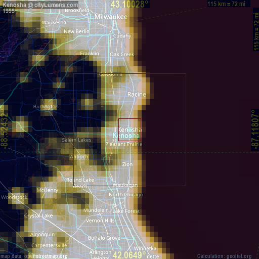
» NASA, Earths city lights 1995
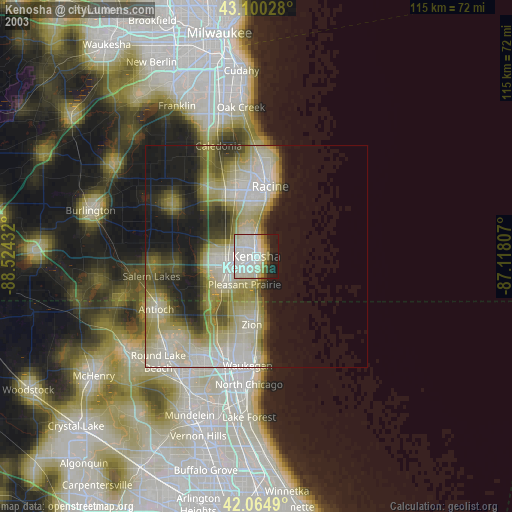
» NASA city lights 2003
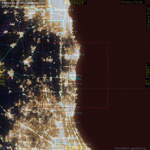
» Earth at Night: Flat Maps 2012, 2016