Perris night lights from space
Night Light of Perris (California) from space (United States) Src. Average luminocity for 10x10km area is 54.9487% and for 50x50km: 39.2245%.
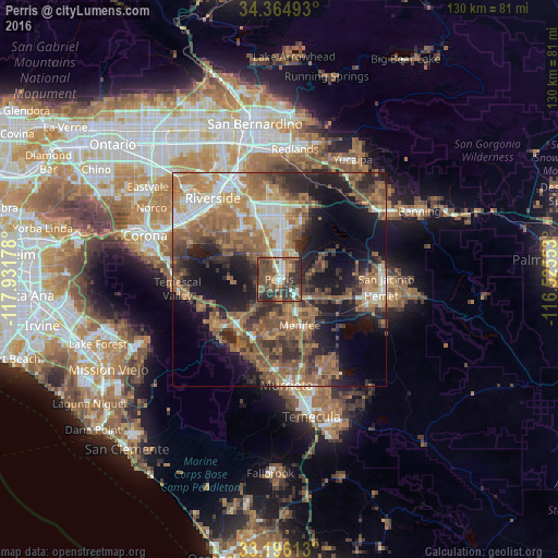

Analysis of Perris night lights 2016
Square area 10x10 km:
 7.88%
7.88%90-99
6.96%80-89
2.75%70-79
5.68%60-69
10.81%50-59
14.47%40-49
25.82%30-39
12.09%20-29
13.55%10-19
0%0-9
0%Square area 50x50 km:
4.31%90-99
5.24%80-89
2.84%70-79
5.13%60-69
12.06%50-59
9.17%40-49
8.51%30-39
6.1%20-29
8.79%10-19
15.1%0-9
22.75%Clear (daylight) street map image can be seen on geolist.org.
Map coordinates:
34° 21' 53.7" North, 117° 55' 54.4" West
33° 46' 57.1" North, 117° 13' 43.1" West
33° 11' 46.1" North, 116° 31' 31.9" West
Some cities around Perris sort by population:
• Menifee
9.7 km =6 mi,  128°
128°
• Lake Elsinore
15.7 km =9.8 mi,  215°
215°
• Sun City
8.7 km =5.4 mi,  160°
160°
• Mead Valley
8.4 km =5.2 mi,  312°
312°
• Canyon Lake
11.6 km =7.2 mi,  200°
200°
• Good Hope
4.1 km =2.5 mi,  240°
240°
• Nuevo
7.9 km =4.9 mi,  74°
74°
• Homeland
11.9 km =7.4 mi,  111°
111°
5382146 (p: 74,971)
Sources (retrieved 2019-11-25):
» NASA, Earths city lights 1995
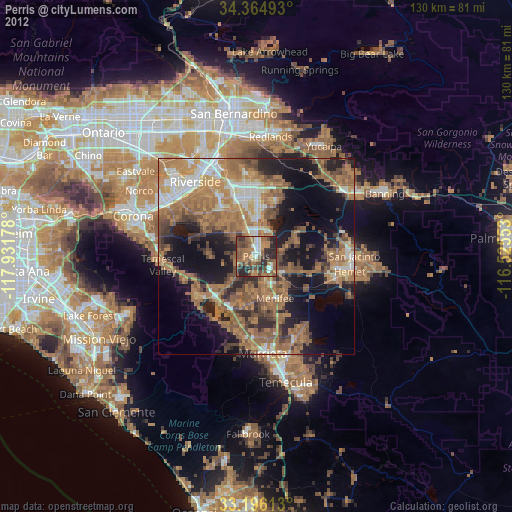
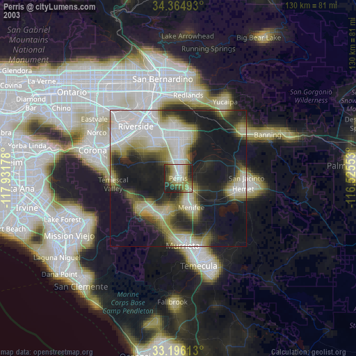
» NASA city lights 2003
» Earth at Night: Flat Maps 2012, 2016