Lake Elsinore night lights from space
Night Light of Lake Elsinore (California) from space (United States) Src. Average luminocity for 10x10km area is 51.7363% and for 50x50km: 30.2198%.
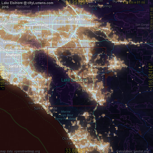
Analysis of Lake Elsinore night lights 2016
Square area 10x10 km:
 3.66%
3.66%90-99
3.85%80-89
2.2%70-79
3.11%60-69
24.91%50-59
15.38%40-49
18.68%30-39
9.52%20-29
11.54%10-19
6.41%0-9
0.73%Square area 50x50 km:
2.4%90-99
3.08%80-89
1.31%70-79
3.04%60-69
9.45%50-59
8.73%40-49
8.42%30-39
5.89%20-29
8.15%10-19
15.2%0-9
34.33%Clear (daylight) street map image can be seen on geolist.org.
Map coordinates:
34° 15' 4.6" North, 118° 1' 49.4" West
33° 40' 5.1" North, 117° 19' 38.1" West
33° 4' 51.3" North, 116° 37' 26.9" West
Some cities around Lake Elsinore sort by population:
• Murrieta
16.5 km =10.3 mi,  140°
140°
• Menifee
18 km =11.2 mi,  68°
68°
• Perris
15.7 km =9.8 mi,  35°
35°
• Wildomar
8.8 km =5.5 mi,  150°
150°
• Sun City
12.9 km =8 mi, 69°
• Lakeland Village
3.6 km =2.2 mi,  205°
205°
• Canyon Lake
5.4 km =3.4 mi, 69°
• Good Hope
12.1 km =7.5 mi,  27°
27°
5364499 (p: 61,981)
Sources (retrieved 2019-11-25):
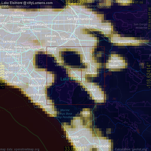
» NASA, Earths city lights 1995
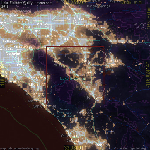
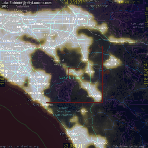
» NASA city lights 2003
» Earth at Night: Flat Maps 2012, 2016