Mead Valley night lights from space
Night Light of Mead Valley (California) from space (United States) Src. Average luminocity for 10x10km area is 48.7745% and for 50x50km: 45.864%.
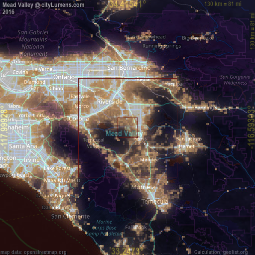
Analysis of Mead Valley night lights 2016
Square area 10x10 km:
 1.57%
1.57%90-99
3.32%80-89
2.1%70-79
5.42%60-69
20.8%50-59
22.03%40-49
14.34%30-39
5.24%20-29
10.49%10-19
13.64%0-9
1.05%Square area 50x50 km:
6.42%90-99
7.26%80-89
3.56%70-79
7.24%60-69
14.04%50-59
8.82%40-49
8.28%30-39
5.85%20-29
8.04%10-19
13.38%0-9
17.09%Clear (daylight) street map image can be seen on geolist.org.
Map coordinates:
34° 24' 55.5" North, 117° 59' 57.4" West
33° 50' 0.1" North, 117° 17' 46.1" West
33° 14' 50.3" North, 116° 35' 34.9" West
Some cities around Mead Valley sort by population:
• Riverside
16.2 km =10.1 mi,  325°
325°
• Moreno Valley
13.1 km =8.1 mi,  27°
27°
• Perris
8.4 km =5.2 mi,  132°
132°
• Sun City
16.6 km =10.3 mi,  146°
146°
• Woodcrest
7.8 km =4.8 mi,  313°
313°
• Canyon Lake
16.6 km =10.3 mi,  172°
172°
• Good Hope
8.1 km =5 mi,  160°
160°
• Nuevo
14.3 km =8.9 mi,  104°
104°
5371858 (p: 18,510)
Sources (retrieved 2019-11-25):
» Earth at Night: Flat Maps 2012, 2016