Pembroke Park night lights from space
Night Light of Pembroke Park (Florida) from space (United States) Src. Average luminocity for 10x10km area is 99.8591% and for 50x50km: 60.4647%.
Analysis of Pembroke Park night lights 2016
Square area 10x10 km:
 96.63%
90-99
2.98%80-89
0%70-79
0.4%60-69
0%50-59
0%40-49
0%30-39
0%20-29
0%10-19
0%0-9
0%Square area 50x50 km:
35.66%90-99
12.66%80-89
2.81%70-79
3.64%60-69
4.17%50-59
2.77%40-49
2.85%30-39
1.88%20-29
1.95%10-19
3.79%0-9
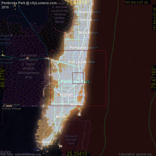
27.8%Clear (daylight) street map image can be seen on geolist.org.
Map coordinates:
26° 37' 5.5" North, 80° 52' 40.4" West
25° 59' 16.3" North, 80° 10' 29.2" West
25° 21' 14.9" North, 79° 28' 17.9" West
Some cities around Pembroke Park sort by population:
• Hollywood
3.6 km =2.2 mi,  44°
44°
• West Hollywood
3.8 km =2.4 mi,  345°
345°
• Hallandale Beach
2.7 km =1.7 mi,  105°
105°
• Aventura
5 km =3.1 mi,  134°
134°
• Ives Estates
2.8 km =1.7 mi,  183°
183°
• West Park
2.4 km =1.5 mi,  261°
261°
• Andover
4.4 km =2.7 mi,  240°
240°
• Lake Forest
1.4 km =0.9 mi,  216°
216°
4168138 (p: 6,333)
Sources (retrieved 2019-11-25):
» Earth at Night: Flat Maps 2012, 2016