Hallandale Beach night lights from space
Night Light of Hallandale Beach (Florida) from space (United States) Src. Average luminocity for 10x10km area is 90.9325% and for 50x50km: 56.9224%.
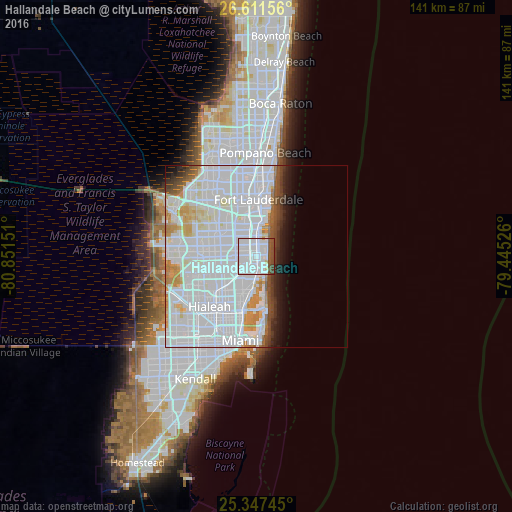
Analysis of Hallandale Beach night lights 2016
Square area 10x10 km:
 72.22%
90-99
9.52%80-89
1.19%70-79
0.4%60-69
0%50-59
7.34%40-49
8.33%30-39
0.99%20-29
0%10-19
0%0-9
0%Square area 50x50 km:
35.23%90-99
12.19%80-89
2.53%70-79
3.19%60-69
2.38%50-59
1.64%40-49
2.45%30-39
1.78%20-29
1.81%10-19
3.5%0-9
33.31%Clear (daylight) street map image can be seen on geolist.org.
Map coordinates:
26° 36' 41.6" North, 80° 51' 5.4" West
25° 58' 52.3" North, 80° 8' 54.2" West
25° 20' 50.8" North, 79° 26' 42.9" West
Some cities around Hallandale Beach sort by population:
• Hollywood
3.3 km =2.1 mi,  358°
358°
• Aventura
2.9 km =1.8 mi,  161°
161°
• Sunny Isles Beach
4.3 km =2.7 mi,  143°
143°
• Ives Estates
3.5 km =2.2 mi,  233°
233°
• Ojus
3.7 km =2.3 mi,  183°
183°
• West Park
5.1 km =3.2 mi,  274°
274°
• Pembroke Park
2.7 km =1.7 mi,  285°
285°
• Lake Forest
3.5 km =2.2 mi,  263°
263°
4157898 (p: 39,488)
Sources (retrieved 2019-11-25):
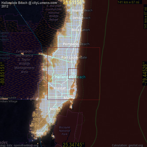
» Earth at Night: Flat Maps 2012, 2016