Andover night lights from space
Night Light of Andover (Florida) from space (United States) Src. Average luminocity for 10x10km area is 99.9008% and for 50x50km: 63.7185%.
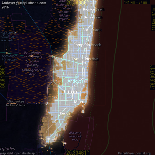
Analysis of Andover night lights 2016
Square area 10x10 km:
 93.85%
90-99
6.15%80-89
0%70-79
0%60-69
0%50-59
0%40-49
0%30-39
0%20-29
0%10-19
0%0-9
0%Square area 50x50 km:
36.02%90-99
12.85%80-89
2.93%70-79
3.79%60-69
5.15%50-59
3.43%40-49
4.17%30-39
3.75%20-29
2.81%10-19
4.31%0-9
20.79%Clear (daylight) street map image can be seen on geolist.org.
Map coordinates:
26° 35' 55.9" North, 80° 54' 57.5" West
25° 58' 6.3" North, 80° 12' 46.2" West
25° 20' 4.6" North, 79° 30' 35" West
Some cities around Andover sort by population:
• Pembroke Pines
4 km =2.5 mi,  343°
343°
• Miramar
2.9 km =1.8 mi,  317°
317°
• Norland
2.2 km =1.4 mi,  178°
178°
• Ives Estates
3.7 km =2.3 mi,  100°
100°
• West Park
2.3 km =1.4 mi,  37°
37°
• Scott Lake
3.6 km =2.2 mi,  212°
212°
• Lake Lucerne
2.9 km =1.8 mi,  262°
262°
• Lake Forest
3.1 km =1.9 mi,  71°
71°
4146039 (p: 9,877)
Sources (retrieved 2019-11-25):
» Earth at Night: Flat Maps 2012, 2016