Lake Forest night lights from space
Night Light of Lake Forest (Florida) from space (United States) Src. Average luminocity for 10x10km area is 100% and for 50x50km: 61.4678%.
Analysis of Lake Forest night lights 2016
Square area 10x10 km:
 100%
100%90-99
0%80-89
0%70-79
0%60-69
0%50-59
0%40-49
0%30-39
0%20-29
0%10-19
0%0-9
0%Square area 50x50 km:
35.87%90-99
12.72%80-89
2.87%70-79
3.73%60-69
4.62%50-59
2.98%40-49
3.29%30-39
1.96%20-29
1.93%10-19
3.82%0-9
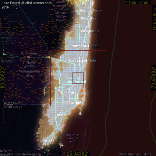
26.2%Clear (daylight) street map image can be seen on geolist.org.
Map coordinates:
26° 36' 28.7" North, 80° 53' 10.4" West
25° 58' 39.3" North, 80° 10' 59.2" West
25° 20' 37.8" North, 79° 28' 47.9" West
Some cities around Lake Forest sort by population:
• West Hollywood
4.8 km =3 mi,  358°
358°
• Hallandale Beach
3.5 km =2.2 mi,  83°
83°
• Norland
4.3 km =2.7 mi,  222°
222°
• Ives Estates
1.8 km =1.1 mi,  159°
159°
• Ojus
4.6 km =2.9 mi,  134°
134°
• West Park
1.8 km =1.1 mi,  296°
296°
• Andover
3.1 km =1.9 mi,  251°
251°
• Pembroke Park
1.4 km =0.9 mi,  36°
36°
4161228 (p: 5,522)
Sources (retrieved 2019-11-25):
» Earth at Night: Flat Maps 2012, 2016