Hollywood night lights from space
Night Light of Hollywood (Florida) from space (United States) Src. Average luminocity for 10x10km area is 92.744% and for 50x50km: 57.0516%.
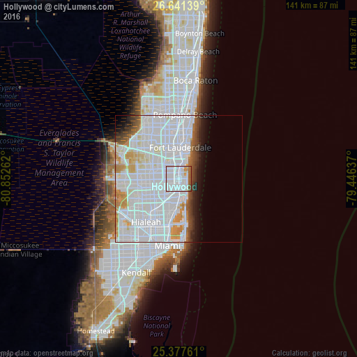
Analysis of Hollywood night lights 2016
Square area 10x10 km:
 75%
75%90-99
6.75%80-89
1.79%70-79
2.78%60-69
2.78%50-59
8.13%40-49
2.78%30-39
0%20-29
0%10-19
0%0-9
0%Square area 50x50 km:
34.38%90-99
12.55%80-89
2.6%70-79
3.25%60-69
2.7%50-59
1.83%40-49
2.56%30-39
2%20-29
1.99%10-19
3.68%0-9
32.45%Clear (daylight) street map image can be seen on geolist.org.
Map coordinates:
26° 38' 29" North, 80° 51' 9.4" West
26° 0' 40.3" North, 80° 8' 58.2" West
25° 22' 39.4" North, 79° 26' 46.9" West
Some cities around Hollywood sort by population:
• West Hollywood
3.6 km =2.2 mi,  286°
286°
• Hallandale Beach
3.3 km =2.1 mi,  178°
178°
• Aventura
6.2 km =3.9 mi,  170°
170°
• Dania Beach
4.6 km =2.9 mi,  6°
6°
• Ives Estates
6.1 km =3.8 mi,  206°
206°
• West Park
5.8 km =3.6 mi,  239°
239°
• Pembroke Park
3.6 km =2.2 mi,  224°
224°
• Lake Forest
5 km =3.1 mi, 221°
4158928 (p: 149,728)
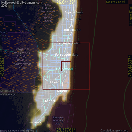
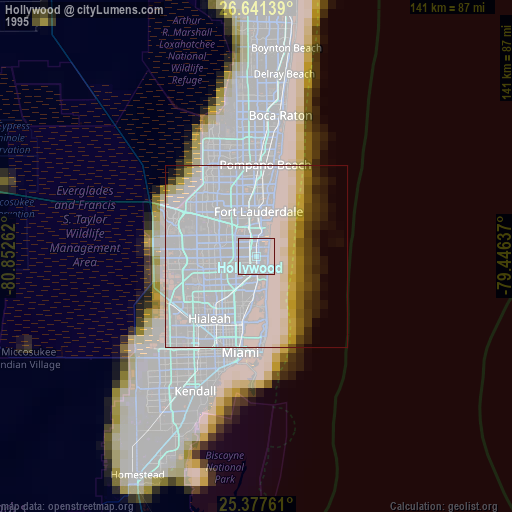
Sources (retrieved 2019-11-25):
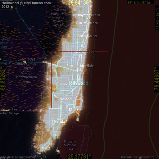
» NASA, Earths city lights 1995
» NASA city lights 2003
» Earth at Night: Flat Maps 2012, 2016