Aventura night lights from space
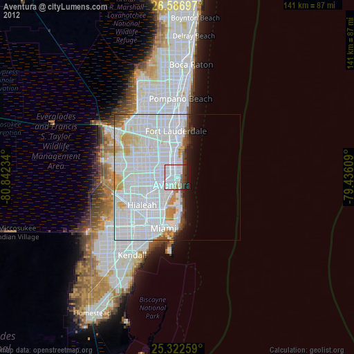
Night Light of Aventura (Florida) from space (United States) Src. Average luminocity for 10x10km area is 82.6865% and for 50x50km: 55.5695%.

Analysis of Aventura night lights 2016
Square area 10x10 km:
 57.54%
90-99
10.71%80-89
1.39%70-79
2.18%60-69
2.38%50-59
5.75%40-49
8.33%30-39
6.94%20-29
4.76%10-19
0%0-9
0%Square area 50x50 km:
34.95%90-99
11.88%80-89
2.34%70-79
2.96%60-69
2.07%50-59
1.61%40-49
2.34%30-39
1.6%20-29
1.56%10-19
3.29%0-9
35.41%Clear (daylight) street map image can be seen on geolist.org.
Map coordinates:
26° 35' 13.1" North, 80° 50' 32.4" West
25° 57' 23.3" North, 80° 8' 21.2" West
25° 19' 21.3" North, 79° 26' 9.9" West
Some cities around Aventura sort by population:
• Hollywood
6.2 km =3.9 mi,  350°
350°
• North Miami Beach
3.5 km =2.2 mi,  221°
221°
• Hallandale Beach
2.9 km =1.8 mi,  341°
341°
• Sunny Isles Beach
1.8 km =1.1 mi,  111°
111°
• Ives Estates
3.8 km =2.4 mi,  279°
279°
• Ojus
1.4 km =0.9 mi,  231°
231°
• Pembroke Park
5 km =3.1 mi,  314°
314°
• Lake Forest
5 km =3.1 mi,  298°
298°
4146429 (p: 37,649)
Sources (retrieved 2019-11-25):
» Earth at Night: Flat Maps 2012, 2016