Ives Estates night lights from space
Night Light of Ives Estates (Florida) from space (United States) Src. Average luminocity for 10x10km area is 99.4782% and for 50x50km: 60.7928%.
Analysis of Ives Estates night lights 2016
Square area 10x10 km:
 93.06%
90-99
5.16%80-89
0%70-79
1.39%60-69
0.4%50-59
0%40-49
0%30-39
0%20-29
0%10-19
0%0-9
0%Square area 50x50 km:
35.93%90-99
12.76%80-89
2.85%70-79
3.72%60-69
4.3%50-59
2.7%40-49
2.78%30-39
1.75%20-29
1.74%10-19
3.59%0-9
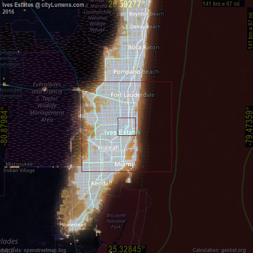
27.86%Clear (daylight) street map image can be seen on geolist.org.
Map coordinates:
26° 35' 34" North, 80° 52' 47.4" West
25° 57' 44.3" North, 80° 10' 36.2" West
25° 19' 42.4" North, 79° 28' 24.9" West
Some cities around Ives Estates sort by population:
• North Miami Beach
3.5 km =2.2 mi,  156°
156°
• Hallandale Beach
3.5 km =2.2 mi,  53°
53°
• Aventura
3.8 km =2.4 mi,  99°
99°
• Ojus
3 km =1.9 mi,  120°
120°
• West Park
3.3 km =2.1 mi,  318°
318°
• Andover
3.7 km =2.3 mi,  280°
280°
• Pembroke Park
2.8 km =1.7 mi,  3°
3°
• Lake Forest
1.8 km =1.1 mi,  339°
339°
4159896 (p: 19,525)
Sources (retrieved 2019-11-25):
» Earth at Night: Flat Maps 2012, 2016