Patterson night lights from space
Night Light of Patterson (California) from space (United States) Src. Average luminocity for 10x10km area is 20.4659% and for 50x50km: 13.8882%.
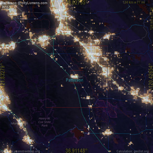
Analysis of Patterson night lights 2016
Square area 10x10 km:
 3.41%
3.41%90-99
2.92%80-89
1.62%70-79
3.57%60-69
1.14%50-59
4.71%40-49
1.95%30-39
1.14%20-29
2.76%10-19
15.75%0-9
61.04%Square area 50x50 km:
2.08%90-99
2.59%80-89
1.19%70-79
2.19%60-69
1.55%50-59
1.8%40-49
2.44%30-39
3.34%20-29
3.71%10-19
5.07%0-9
74.05%Clear (daylight) street map image can be seen on geolist.org.
Map coordinates:
38° 1' 39.2" North, 121° 49' 58" West
37° 28' 17.8" North, 121° 7' 46.8" West
36° 54' 41.3" North, 120° 25' 35.5" West
Some cities around Patterson sort by population:
• Modesto
22 km =13.7 mi,  32°
32°
• Turlock
25.1 km =15.6 mi,  84°
84°
• Ceres
20.4 km =12.7 mi,  47°
47°
• Newman
20 km =12.4 mi,  151°
151°
• West Modesto
18.1 km =11.2 mi, 26°
• Keyes
21.1 km =13.1 mi,  63°
63°
• Hilmar-Irwin
25.8 km =16 mi,  106°
106°
• Bret Harte
18.2 km =11.3 mi,  37°
37°
5381515 (p: 21,498)
Sources (retrieved 2019-11-25):
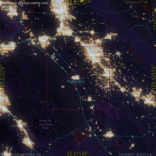
» Earth at Night: Flat Maps 2012, 2016