Turlock night lights from space
Night Light of Turlock (California) from space (United States) Src. Average luminocity for 10x10km area is 61.1282% and for 50x50km: 19.7866%.
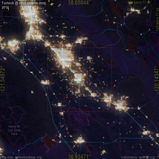
Analysis of Turlock night lights 2016
Square area 10x10 km:
 10.55%
90-99
13.64%80-89
5.36%70-79
12.82%60-69
8.77%50-59
6.49%40-49
12.99%30-39
12.18%20-29
14.77%10-19
2.44%0-9
0%Square area 50x50 km:
2.35%90-99
3.13%80-89
1.65%70-79
3.24%60-69
2.61%50-59
2.77%40-49
4.07%30-39
4.94%20-29
5.23%10-19
10.76%0-9
59.26%Clear (daylight) street map image can be seen on geolist.org.
Map coordinates:
38° 3' 1.6" North, 121° 32' 59" West
37° 29' 40.8" North, 120° 50' 47.7" West
36° 56' 5" North, 120° 8' 36.5" West
Some cities around Turlock sort by population:
• Ceres
14.8 km =9.2 mi,  318°
318°
• Livingston
16.2 km =10.1 mi,  137°
137°
• Delhi
9.2 km =5.7 mi, 139°
• Waterford
18 km =11.2 mi,  24°
24°
• Hughson
11.5 km =7.1 mi,  351°
351°
• Keyes
9.2 km =5.7 mi, 318°
• Hilmar-Irwin
10 km =6.2 mi,  181°
181°
• Bret Harte
18.4 km =11.4 mi,  310°
310°
5404024 (p: 72,292)
Sources (retrieved 2019-11-25):
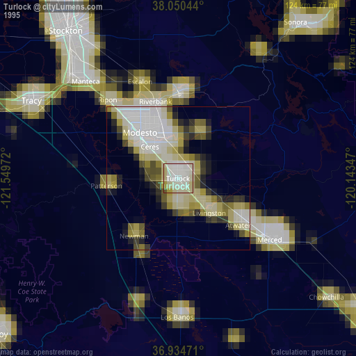
» NASA, Earths city lights 1995
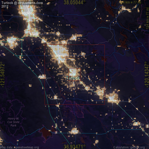
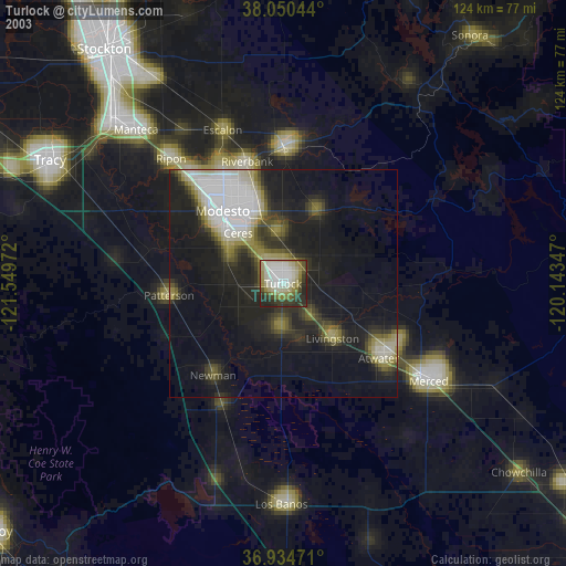
» NASA city lights 2003
» Earth at Night: Flat Maps 2012, 2016