Modesto night lights from space
Night Light of Modesto (California) from space (United States) Src. Average luminocity for 10x10km area is 85.5476% and for 50x50km: 24.2793%.
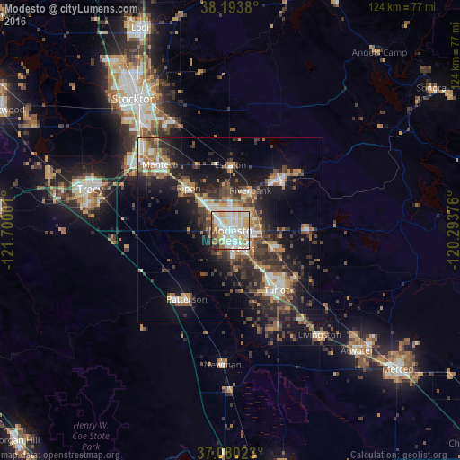


Analysis of Modesto night lights 2016
Square area 10x10 km:
 23.81%
90-99
30.78%80-89
17.01%70-79
11.05%60-69
6.97%50-59
6.12%40-49
2.04%30-39
1.02%20-29
1.19%10-19
0%0-9
0%Square area 50x50 km:
3.17%90-99
3.88%80-89
1.92%70-79
3.79%60-69
3.28%50-59
3.34%40-49
4.6%30-39
5.7%20-29
7.41%10-19
14.02%0-9
48.88%Clear (daylight) street map image can be seen on geolist.org.
Map coordinates:
38° 11' 37.7" North, 121° 42' 0" West
37° 38' 20.8" North, 120° 59' 48.8" West
37° 4' 48.8" North, 120° 17' 37.5" West
Some cities around Modesto sort by population:
• Ceres
6 km =3.7 mi,  144°
144°
• Riverbank
12.1 km =7.5 mi,  26°
26°
• Ripon
16 km =9.9 mi,  315°
315°
• Salida
10.7 km =6.6 mi,  313°
313°
• Hughson
12.4 km =7.7 mi,  112°
112°
• West Modesto
4.4 km =2.7 mi,  237°
237°
• Keyes
11.6 km =7.2 mi, 141°
• Bret Harte
4.2 km =2.6 mi,  190°
190°
5373900 (p: 211,266)
Sources (retrieved 2019-11-25):
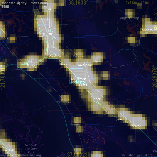
» NASA, Earths city lights 1995
» NASA city lights 2003
» Earth at Night: Flat Maps 2012, 2016