Parkland night lights from space
Night Light of Parkland (Florida) from space (United States) Src. Average luminocity for 10x10km area is 91.1369% and for 50x50km: 46.6153%.
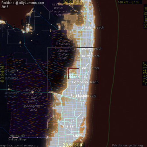
Analysis of Parkland night lights 2016
Square area 10x10 km:
 32.74%
90-99
31.15%80-89
18.25%70-79
13.49%60-69
3.77%50-59
0.6%40-49
0%30-39
0%20-29
0%10-19
0%0-9
0%Square area 50x50 km:
21.27%90-99
13.34%80-89
3.17%70-79
1.97%60-69
2.96%50-59
2.59%40-49
2.94%30-39
3.33%20-29
4.32%10-19
6.71%0-9
37.39%Clear (daylight) street map image can be seen on geolist.org.
Map coordinates:
26° 56' 19.1" North, 80° 56' 25.4" West
26° 18' 36.3" North, 80° 14' 14.2" West
25° 40' 41.1" North, 79° 32' 2.9" West
Some cities around Parkland sort by population:
• Coral Springs
5.5 km =3.4 mi,  217°
217°
• Tamarac
10.9 km =6.8 mi,  186°
186°
• Coconut Creek
8.7 km =5.4 mi,  138°
138°
• Margate
7.9 km =4.9 mi,  157°
157°
• North Lauderdale
10.4 km =6.5 mi,  173°
173°
• Boca Del Mar
9.8 km =6.1 mi,  66°
66°
• Sandalfoot Cove
5.9 km =3.7 mi,  57°
57°
• Pompano Beach Highlands
13.3 km =8.3 mi,  103°
103°
4167829 (p: 30,177)
Sources (retrieved 2019-11-25):
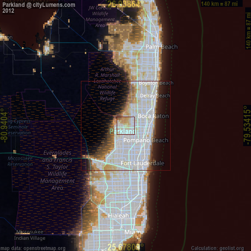
» Earth at Night: Flat Maps 2012, 2016