Margate night lights from space
Night Light of Margate (Florida) from space (United States) Src. Average luminocity for 10x10km area is 99.1032% and for 50x50km: 50.6711%.
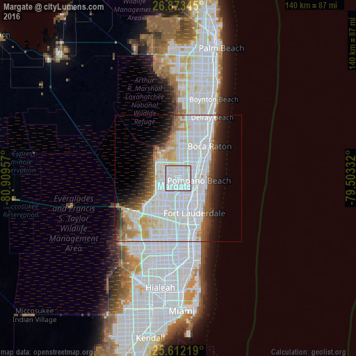
Analysis of Margate night lights 2016
Square area 10x10 km:
 67.66%
90-99
30.36%80-89
1.98%70-79
0%60-69
0%50-59
0%40-49
0%30-39
0%20-29
0%10-19
0%0-9
0%Square area 50x50 km:
23.62%90-99
13.88%80-89
3.58%70-79
2.74%60-69
3.49%50-59
2.8%40-49
3.09%30-39
3.34%20-29
3.97%10-19
5.9%0-9
33.59%Clear (daylight) street map image can be seen on geolist.org.
Map coordinates:
26° 52' 24.4" North, 80° 54' 34.5" West
26° 14' 40.3" North, 80° 12' 23.2" West
25° 36' 43.9" North, 79° 30' 12" West
Some cities around Margate sort by population:
• Coral Springs
7.1 km =4.4 mi,  294°
294°
• Pompano Beach
8.2 km =5.1 mi,  95°
95°
• Tamarac
5.6 km =3.5 mi,  230°
230°
• Coconut Creek
2.9 km =1.8 mi,  73°
73°
• North Lauderdale
3.6 km =2.2 mi,  212°
212°
• Lauderdale Lakes
8.7 km =5.4 mi,  181°
181°
• Parkland
7.9 km =4.9 mi,  337°
337°
• North Andrews Gardens
8.6 km =5.3 mi,  133°
133°
4163407 (p: 57,234)
Sources (retrieved 2019-11-25):
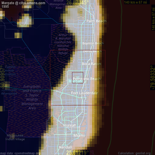
» NASA, Earths city lights 1995
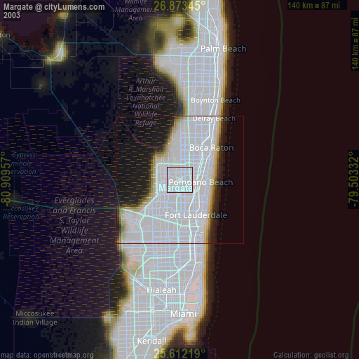
» NASA city lights 2003
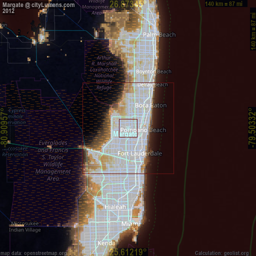
» Earth at Night: Flat Maps 2012, 2016