North Lauderdale night lights from space
Night Light of North Lauderdale (Florida) from space (United States) Src. Average luminocity for 10x10km area is 99.3095% and for 50x50km: 53.1144%.
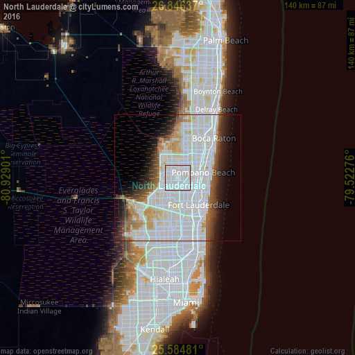
Analysis of North Lauderdale night lights 2016
Square area 10x10 km:
 72.82%
90-99
25.99%80-89
1.19%70-79
0%60-69
0%50-59
0%40-49
0%30-39
0%20-29
0%10-19
0%0-9
0%Square area 50x50 km:
25.24%90-99
14.56%80-89
3.55%70-79
2.65%60-69
3.43%50-59
2.88%40-49
3.18%30-39
3.59%20-29
4.17%10-19
6.38%0-9
30.38%Clear (daylight) street map image can be seen on geolist.org.
Map coordinates:
26° 50' 46.9" North, 80° 55' 44.4" West
26° 13' 2.3" North, 80° 13' 33.2" West
25° 35' 5.3" North, 79° 31' 21.9" West
Some cities around North Lauderdale sort by population:
• Coral Springs
7.5 km =4.7 mi,  323°
323°
• Pompano Beach
10.3 km =6.4 mi,  77°
77°
• Plantation
9.3 km =5.8 mi,  183°
183°
• Lauderhill
8.6 km =5.3 mi,  171°
171°
• Tamarac
2.4 km =1.5 mi,  258°
258°
• Coconut Creek
6 km =3.7 mi,  50°
50°
• Margate
3.6 km =2.2 mi,  32°
32°
• Lauderdale Lakes
5.9 km =3.7 mi,  162°
162°
4166222 (p: 43,703)
Sources (retrieved 2019-11-25):
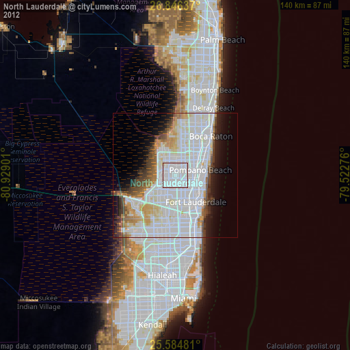
» Earth at Night: Flat Maps 2012, 2016