Lakewood night lights from space
Night Light of Lakewood (Washington) from space (United States) Src. Average luminocity for 10x10km area is 79.2842% and for 50x50km: 33.9254%.
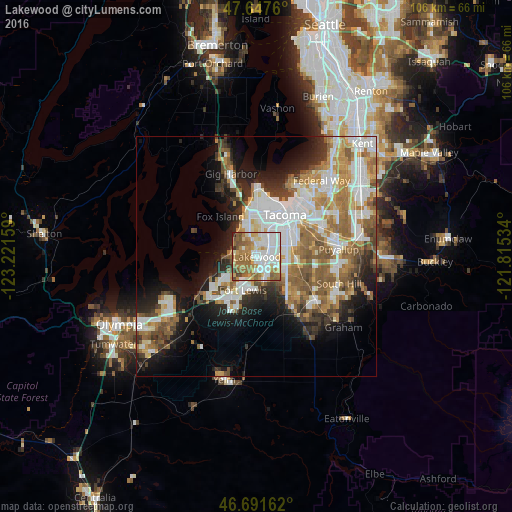
Analysis of Lakewood night lights 2016
Square area 10x10 km:
 23.07%
90-99
20.39%80-89
9.08%70-79
10.71%60-69
18.9%50-59
11.46%40-49
3.57%30-39
1.19%20-29
1.64%10-19
0%0-9
0%Square area 50x50 km:
8.04%90-99
7.07%80-89
2.85%70-79
4.58%60-69
5.94%50-59
5.94%40-49
3.64%30-39
3.23%20-29
5.52%10-19
9.55%0-9
43.64%Clear (daylight) street map image can be seen on geolist.org.
Map coordinates:
47° 38' 51.4" North, 123° 13' 17.7" West
47° 10' 18.3" North, 122° 31' 6.5" West
46° 41' 29.8" North, 121° 48' 55.2" West
Some cities around Lakewood sort by population:
• Tacoma
10.6 km =6.6 mi,  31°
31°
• Parkland
6.6 km =4.1 mi,  105°
105°
• University Place
7.5 km =4.7 mi,  341°
341°
• Spanaway
9.9 km =6.2 mi,  139°
139°
• Joint Base Lewis McChord
8.4 km =5.2 mi,  211°
211°
• Midland
8.6 km =5.3 mi,  93°
93°
• Fircrest
7.5 km =4.7 mi,  1°
1°
• Steilacoom
6.4 km =4 mi,  268°
268°
5800420 (p: 59,829)
Sources (retrieved 2019-11-25):
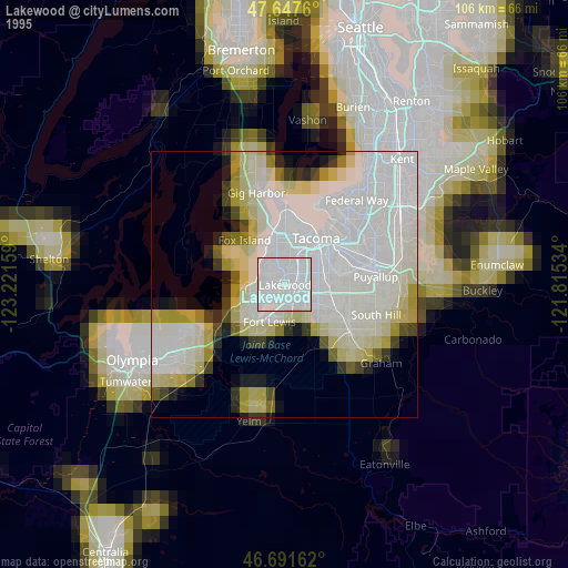
» NASA, Earths city lights 1995
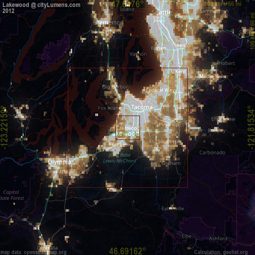
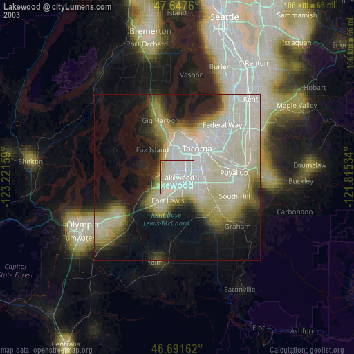
» NASA city lights 2003
» Earth at Night: Flat Maps 2012, 2016