Parkersburg night lights from space
Night Light of Parkersburg (West Virginia) from space (United States) Src. Average luminocity for 10x10km area is 64.6395% and for 50x50km: 9.7354%.
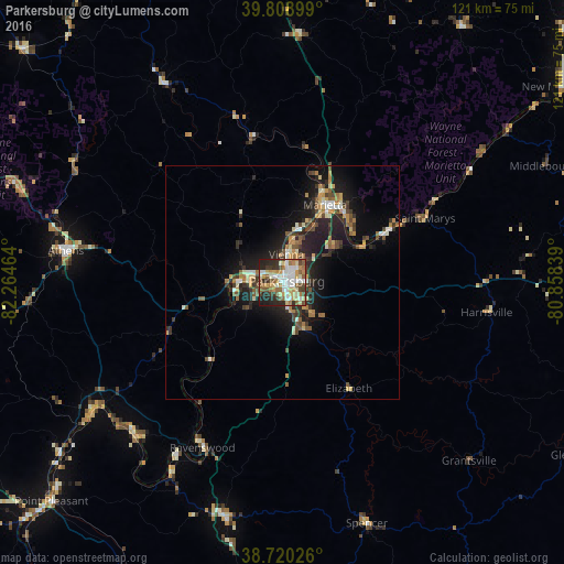
Analysis of Parkersburg night lights 2016
Square area 10x10 km:
 12.76%
90-99
16.5%80-89
9.86%70-79
9.52%60-69
7.99%50-59
10.71%40-49
6.12%30-39
8.67%20-29
14.12%10-19
3.74%0-9
0%Square area 50x50 km:
0.94%90-99
1.45%80-89
1.09%70-79
1.46%60-69
1.29%50-59
1.3%40-49
1.56%30-39
1.75%20-29
3.34%10-19
7.26%0-9
78.58%Clear (daylight) street map image can be seen on geolist.org.
Map coordinates:
39° 48' 32.4" North, 82° 15' 52.7" West
39° 16' 0.3" North, 81° 33' 41.4" West
38° 43' 12.9" North, 80° 51' 30.2" West
Some cities around Parkersburg sort by population:
• Zanesville
84.3 km =52.4 mi,  332°
332°
• Athens
47 km =29.2 mi,  278°
278°
• Marietta
18.9 km =11.7 mi,  29°
29°
• Vienna
6.8 km =4.2 mi,  9°
9°
• Logan
78.7 km =48.9 mi,  292°
292°
• Belpre
1.3 km =0.8 mi,  309°
309°
• New Martinsville
73.6 km =45.7 mi,  55°
55°
• Nelsonville
61.4 km =38.2 mi, 290°
4817641 (p: 30,991)
Sources (retrieved 2019-11-25):
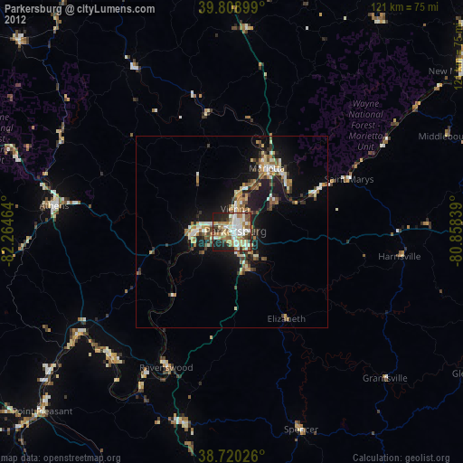
» Earth at Night: Flat Maps 2012, 2016