Marietta night lights from space
Night Light of Marietta (Ohio) from space (United States) Src. Average luminocity for 10x10km area is 43.7636% and for 50x50km: 9.6066%.
Analysis of Marietta night lights 2016
Square area 10x10 km:
 4.08%
4.08%90-99
7.31%80-89
5.95%70-79
11.73%60-69
4.42%50-59
4.59%40-49
7.65%30-39
4.76%20-29
19.56%10-19
25.85%0-9
4.08%Square area 50x50 km:
0.92%90-99
1.43%80-89
1.09%70-79
1.49%60-69
1.32%50-59
1.15%40-49
1.49%30-39
1.67%20-29
3.45%10-19
6.93%0-9
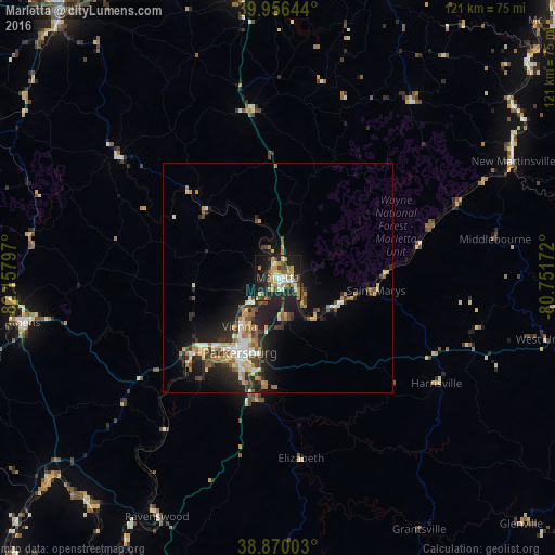
79.04%Clear (daylight) street map image can be seen on geolist.org.
Map coordinates:
39° 57' 23.2" North, 82° 9' 28.7" West
39° 24' 55.3" North, 81° 27' 17.4" West
38° 52' 12.1" North, 80° 45' 6.2" West
Some cities around Marietta sort by population:
• Parkersburg
18.9 km =11.7 mi,  209°
209°
• Zanesville
75.4 km =46.9 mi,  320°
320°
• Athens
56.4 km =35 mi,  260°
260°
• Vienna
12.7 km =7.9 mi,  219°
219°
• Cambridge
69.4 km =43.1 mi,  350°
350°
• Belpre
18.7 km =11.6 mi, 212°
• New Martinsville
57.2 km =35.5 mi,  63°
63°
• Nelsonville
66.9 km =41.6 mi,  274°
274°
4517586 (p: 13,900)
Sources (retrieved 2019-11-25):
» Earth at Night: Flat Maps 2012, 2016