Paris night lights from space
Night Light of Paris (Texas) from space (United States) Src. Average luminocity for 10x10km area is 53.1978% and for 50x50km: 3.6549%.
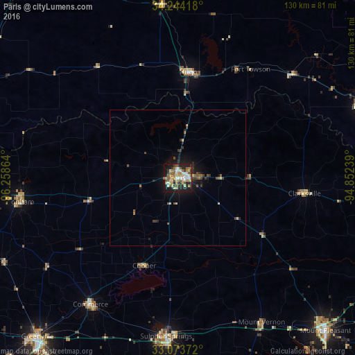
Analysis of Paris night lights 2016
Square area 10x10 km:
 8.24%
8.24%90-99
8.24%80-89
10.26%70-79
8.42%60-69
8.79%50-59
10.99%40-49
3.66%30-39
7.69%20-29
12.45%10-19
20.51%0-9
0.73%Square area 50x50 km:
0.35%90-99
0.38%80-89
0.55%70-79
0.37%60-69
0.54%50-59
0.69%40-49
0.4%30-39
0.83%20-29
0.93%10-19
2.98%0-9
91.98%Clear (daylight) street map image can be seen on geolist.org.
Map coordinates:
34° 14' 39" North, 96° 15' 31.1" West
33° 39' 39.4" North, 95° 33' 19.8" West
33° 4' 25.4" North, 94° 51' 8.6" West
Some cities around Paris sort by population:
• Greenville
77.7 km =48.3 mi,  221°
221°
• Durant
83.9 km =52.1 mi,  296°
296°
• Sulphur Springs
58.2 km =36.2 mi,  184°
184°
• Mount Pleasant
78.2 km =48.6 mi,  135°
135°
• Bonham
58.4 km =36.3 mi,  260°
260°
• Commerce
56 km =34.8 mi,  214°
214°
• Idabel
72.3 km =44.9 mi,  68°
68°
• Hugo
39.1 km =24.3 mi,  6°
6°
4717560 (p: 24,782)
Sources (retrieved 2019-11-25):
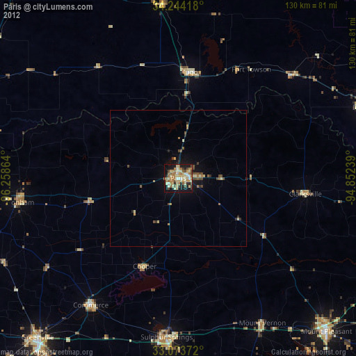
» Earth at Night: Flat Maps 2012, 2016