Mount Pleasant night lights from space
Night Light of Mount Pleasant (Texas) from space (United States) Src. Average luminocity for 10x10km area is 47.837% and for 50x50km: 5.9733%.
Analysis of Mount Pleasant night lights 2016
Square area 10x10 km:
 6.04%
6.04%90-99
7.33%80-89
8.61%70-79
8.79%60-69
8.97%50-59
6.41%40-49
7.14%30-39
3.85%20-29
13.37%10-19
27.66%0-9
1.83%Square area 50x50 km:
0.3%90-99
0.42%80-89
1.2%70-79
0.8%60-69
0.77%50-59
0.85%40-49
0.85%30-39
1.38%20-29
1.48%10-19
4.11%0-9
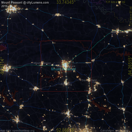
87.84%Clear (daylight) street map image can be seen on geolist.org.
Map coordinates:
33° 44' 36.4" North, 95° 40' 17" West
33° 9' 24.4" North, 94° 58' 5.8" West
32° 33' 58.2" North, 94° 15' 54.5" West
Some cities around Mount Pleasant sort by population:
• Longview
76 km =47.2 mi,  163°
163°
• Paris
78.2 km =48.6 mi,  315°
315°
• Sulphur Springs
58.9 km =36.6 mi,  268°
268°
• Gladewater
69 km =42.9 mi,  178°
178°
• White Oak
70.6 km =43.9 mi,  171°
171°
• Lindale
82.3 km =51.1 mi,  210°
210°
• Atlanta
75 km =46.6 mi,  93°
93°
• Gilmer
47.7 km =29.6 mi, 177°
4712933 (p: 16,051)
Sources (retrieved 2019-11-25):
» Earth at Night: Flat Maps 2012, 2016